Dive slate · divesites.com.au · printed 7 Nov 2026
Mandorah Queen
Darwin Harbour, Northern Territory · near Darwin
| Depth | 18–21 m |
|---|---|
| Minimum level | Advanced Open Water |
| Difficulty | Intermediate |
| Access | Boat (day trip) |
| Entry | Giant stride or backward roll from the boat; descend the shot or anchor line |
| Current | Variable/Tidal |
| Visibility | 2-8 m |
| Water | summer 29-32 °C, winter 24-26 °C |
| Suit | 3 mm wetsuit or skin in the dry season; full-length Lycra stinger suit (with hood and gloves) October-May |
| Best season | May-October (dry season), on neap tides only |
| Bottom time | 30 min |
| Position | not published |
| Permit | Cyclone Tracy wreck where lives were lost; no permit required to dive, but no disturbance. |
| Nearest chamber | Royal Darwin Hospital hyperbaric medicine unit (Tiwi, Darwin) |
| Emergency | 000 · DAN Asia-Pacific diving emergency 1800 088 200 |
Mandorah Queen
A Cyclone Tracy ferry lost with three crew, now almost buried in sand but still a magnet for big fish.
Near Darwin · Darwin Harbour, Northern Territory
- Depth
- 18–21 m
- Minimum level
- Advanced Open Water
- Access
- Boat (day trip)
- Boat ride
- —
- Water
- 29-32 °C
- Visibility
- 2-8 m
Mandorah Queen18–21 m · Advanced Open Water
Dive factsDepths, conditions, location & safety
Season
Off-peak nowBest months: May, June, July, August, September, October.
May-October (dry season), on neap tides only
- Best months
- Now (November)
- Stinger suit Nov–May
Dive facts
- Depth
- 18–21 m
- Typical depth
- 20 m
- Certification
- Advanced Open Water
- Difficulty
- Intermediate
- Depth tier
- Advanced Open Water (18–30 m)
- Access
- Boat (day trip)
- Dive centre needed
- Yes – boat access only
- Shore / independent
- No
- Current
- Variable/Tidal
- Visibility
- 2-8 m
- Water temp (summer)
- 29-32 °C
- Water temp (winter)
- 24-26 °C
- Water
- Tropical
- Bottom time
- 30 min
- Dive traffic
- Rarely dived (private boat/club only)
- Night dive
- Possible
- Snorkel friendly
- No
Exposure suit
3 mm wetsuit or skin in the dry season; full-length Lycra stinger suit (with hood and gloves) October-May
Location
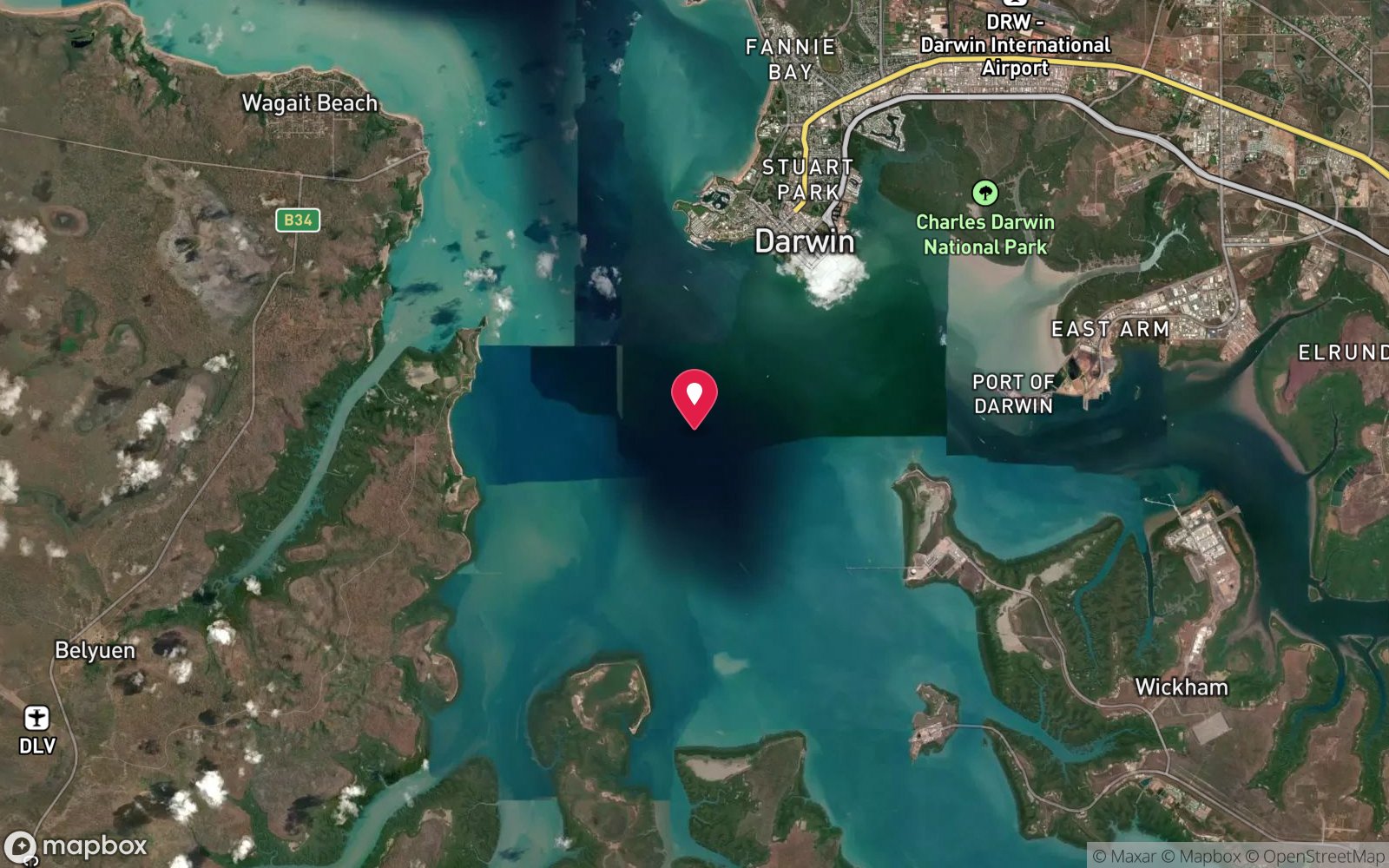
Western harbour - Mandorah
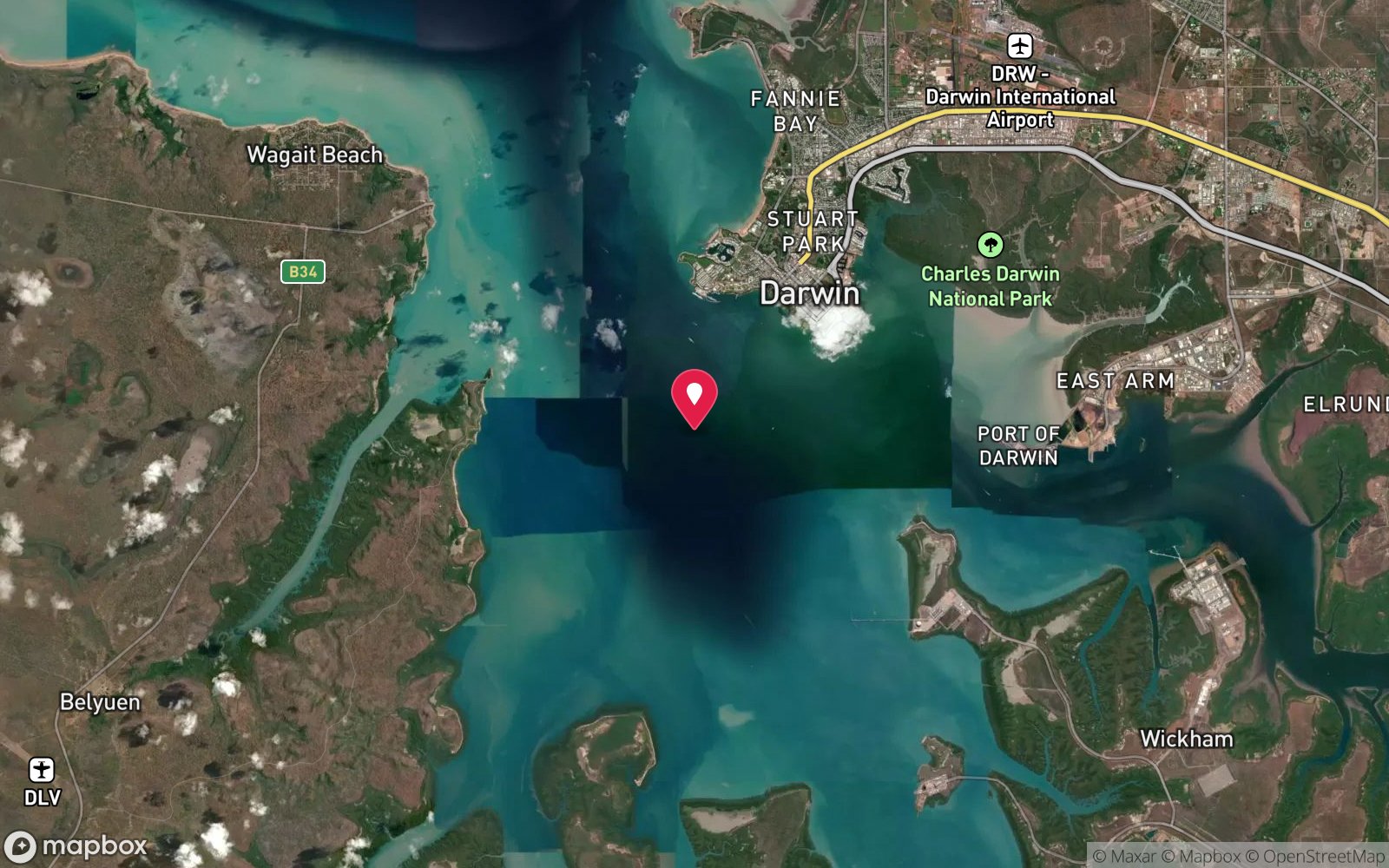
No published coordinates. The map above shows the general area, estimated from other documented sites near Darwin.
Dive site map (external) →Primary source: dsac.com.auMarine park & permits
Cyclone Tracy wreck where lives were lost; no permit required to dive, but no disturbance.
Nearest recompression chamber
Royal Darwin Hospital hyperbaric medicine unit (Tiwi, Darwin)
Diving emergency: call 000, then DAN AP 1800 088 200.
Trip planner
Build a trip around Mandorah Queen →
A day-by-day plan for Darwin Harbour with this site locked in.
This guide is a planning aid. Conditions change daily — confirm with a local dive centre and dive within your training. Data & safety notes.
Dive profile
How this site rates
Scores are computed from the recorded data, not opinions. How?
At a glance
Mandorah Queen is a wreck boat dive in Darwin Harbour, NT, 18–21 m, suited to Advanced Open Water divers, variable/tidal current.
Rated intermediate because of depth beyond 18 m, tidal current that must be timed, boat traffic overhead.
Why dive here
- A Cyclone Tracy ferry lost with three crew, now almost buried in sand but still a magnet for big fish.
- Sunk in 1974 (Steel and aluminium passenger ferry, 22 m).
- Rarely dived: expect to have the site to yourself, and plan your own logistics.
Conditions to avoid
- Strong southerly or south-east swell and wind
- Outgoing tide or run-off after rain (poor visibility)
- Spring tides (strong current)
- Any time other than slack water
- Cyclone season (roughly December–April)
About Mandorah Queen
The Mandorah Queen was a 22 m steel-and-aluminium ferry on the harbour crossing to Mandorah. Cyclone Tracy crossed Darwin in the early hours of 25 December 1974 with gusts estimated at over 200 km/h, destroying most of the city and killing 66 people, many of them at sea. More than 20 vessels sank or were driven ashore in and around the harbour, and several of those wrecks now form a second, much more intact wreck trail beside the 1942 sites. During the storm she dragged her anchors and sank with three crew aboard, one of the harbour's saddest losses that night.
The wreck lies in 18-21 m and is almost buried in soft, shifting sand. It appears to be sitting upright, but so little is exposed that it is difficult to tell, and DSAC notes that each visit shows less of her as the sand builds up. It is also hard to locate and to anchor on. The reason to persist is the fish: large jewfish, greasy cod (groper), flathead, batfish, angelfish, butterflyfish, rock cod, coral trout and dense schools of baitfish gather around what structure remains. This is a site for experienced local divers and club outings rather than visitors, and a reminder of the people lost on the water during Tracy. Because the exposed structure changes from year to year, it is worth asking DSAC about recent visits before committing a neap window to it; on a good day it can be combined with the nearby NR Diemen as a shallower second dive on the Mandorah side of the harbour. Divers should treat it as a grave site and leave everything as found.
Wreck details
Steel and aluminium passenger ferry, 22 m · Sunk 1974
Era: post-war. Oldest wrecks · Wartime wrecks · Scuttled warships
Other wrecks of the same era
- NR Diemen · Max 12 m · Darwin Harbour
- Bellbird · Max 16 m · Darwin Harbour
- Bluebird · Max 15 m · Darwin Harbour
- Booya · Max 22 m · Darwin Harbour
- Darwin Princess · Max 26 m · Darwin Harbour
- Buffalo LVT amphibious vehicle · Max 23 m · Darwin Harbour
Getting there & entry
Darwin Harbour towards Mandorah; the ferry is almost buried in shifting sand in 18-21 m.
Boat only. Launch at Cullen Bay Marina or the Cullen Bay public ramp and cross the harbour west towards Mandorah on the Cox Peninsula, a run of around 15-20 minutes in calm conditions - the SeaLink ferry route from Cullen Bay to Mandorah jetty gives the line. Watch for the ferry on approach.
Mandorah can also be reached by road (about 130 km around via the Cox Peninsula Road), but the site itself still needs a boat. Plan to arrive for the neap high-water slack. The site is hard to find and to anchor on - an accurate GPS mark and a good sounder are essential.
Entry: Giant stride or backward roll from the boat; descend the shot or anchor line
Weather, swell & tides
Tide is everything in Darwin Harbour: the spring range is 7-8 m and tidal streams run hard through the harbour, so diving is generally only possible on neap tides (range under about 3-4 m), timed to the slack at high water when clearer ocean water sits over the site. Spring tides bring strong currents and silt-laden water with near-zero visibility. The dry season (May-October) gives the most consistent conditions; the south-east trade winds can chop up exposed water in the afternoon, so mornings are best.
In the wet season (November-April) run-off from the rivers and creeks drops visibility, afternoon storms build quickly, and the harbour is in cyclone season; box jellyfish are present October-May.
Best season: May-October (dry season), on neap tides only
How the dive is usually run
Drop a shot on the sounder mark at neap slack. The exposed structure is small, so stay within sight of the shot, circle the visible parts of the ferry and look for the resident large fish; return to the line after 20-30 minutes.
Marine life
- Large black jewfish
- greasy cod (groper)
- flathead
- batfish
- angelfish
- butterflyfish
- rock cod
- coral trout
- baitfish schools
Linked species have their own page listing every site where they are recorded. All marine life →
Training required
Beyond 18 m an Advanced certification (which includes a deep dive to 30 m) is the accepted minimum. Anything past 25 m is a deep dive in practice.
Courses that help here
- Peak Performance Buoyancy – Silt and low visibility punish poor trim.
Depth tiers: 0–10 m easy · to 18 m Open Water · 18–30 m Advanced (25 m+ is a deep dive) · 30–40 m Deep specialty · 40 m+ technical. All courses
Hazards & warnings
Darwin's tidal range reaches 7-8 m on springs: dive only on neap tides at slack water or currents become unswimmable and visibility collapses. Saltwater crocodiles live throughout the harbour - keep surface intervals short, no dangling legs, keep a lookout at entry and exit. Box jellyfish (Chironex) and Irukandji October-May - full-length stinger suit, hood and gloves, vinegar on board.
Silt is fine and easily stirred. SeaLink ferry route nearby. Hard to locate - drift off the site easily in poor visibility.
Dive centres that go here
No regular operator; dived occasionally by Darwin Sub Aqua Club and on request with local operators.
Operators recorded for Mandorah Queen
Dive Darwin
ProfiledDarwin · Darwin Harbour · NT
The main verified dive operation in the Northern Territory, offering recreational training through professional level alongside technical diving and a large specialty range.
divedarwin.com.au · +61 401 751 651
Darwin Sub Aqua Club
Named by sitesDarwin · Darwin Harbour · NT
Club, not a shop: official site updated August 2026 with the 2026 AGM notice; meets Thursdays at Darwin Ski Club, Fannie Bay.
dsac.com.au
General area
No position has been published for Mandorah Queen. The circle shows where it is likely to be, worked out from other documented sites near Darwin. Ask a local operator for the exact site.
Dashed circle: general area (about 11 km), from other documented sites near Darwin. 6 pinned sites. Pins marked approximate on their pages show the general area only; not for navigation.
Mandorah Queen: frequently asked questions
How deep is Mandorah Queen?
Mandorah Queen reaches a maximum depth of 21 m, with the shallowest part at about 18 m; most of the dive is spent around 20 m.
What certification do I need to dive Mandorah Queen?
Advanced Open Water is the recommended minimum. Rated intermediate because of depth beyond 18 m, tidal current that must be timed, boat traffic overhead.
Can I shore dive Mandorah Queen?
No, it is reached by boat. A dive centre is required: boat access only.
When is the best time to dive Mandorah Queen?
May-October (dry season), on neap tides only.
What marine life will I see at Mandorah Queen?
Regularly recorded: Large black jewfish, greasy cod (groper), flathead, batfish, angelfish, butterflyfish, rock cod, coral trout, baitfish schools.
What wetsuit do I need at Mandorah Queen?
3 mm wetsuit or skin in the dry season; full-length Lycra stinger suit (with hood and gloves) October-May.
How cold is the water at Mandorah Queen?
Typically 29-32 °C in summer and 24-26 °C in winter.
What are the main hazards at Mandorah Queen?
Darwin's tidal range reaches 7-8 m on springs: dive only on neap tides at slack water or currents become unswimmable and visibility collapses. See the hazards section above for the full list.
Where is the nearest recompression chamber to Mandorah Queen?
Royal Darwin Hospital hyperbaric medicine unit (Tiwi, Darwin). In an emergency call 000, then DAN Asia-Pacific on 1800 088 200.
Diving in Darwin Harbour
Darwin Harbour is Australia's most historic wreck-diving location. The Japanese air raid of 19 February 1942 sank the USAT Meigs, SS Mauna Loa, British Motorist, Zealandia, Kelat and others, and they remain as protected war graves in 15–25 m, along with the Song Saigon refugee boat and a scatter of barges and aircraft. Visibility is low (3–8 m) and the tidal range reaches 8 m, so every dive is planned around slack water on the neap tides.
Getting there: Charters from Darwin, generally advertised weeks ahead for the neap-tide windows. No shore diving.
Sources
Data confidence: Medium · Being verified: No published coordinates (v1 coordinates were an estimate and have been removed).. Last updated September 2026. Know this site better? How to send a correction