Dive slate · divesites.com.au · printed 9 Nov 2026
Marie Gabrielle
Shipwreck Coast & Warrnambool, Victoria · near Princetown / Lavers Hill
| Depth | 1–3 m |
|---|---|
| Minimum level | Open Water |
| Difficulty | Advanced |
| Access | Shore |
| Entry | Beach entry from Wreck Beach at dead low tide in nil swell, after the 350-step descent |
| Current | Moderate |
| Visibility | 1-5 m |
| Water | summer 16-19 °C, winter 11-14 °C |
| Suit | 7mm semi-dry with hood and gloves in summer; drysuit strongly preferred May–November |
| Best season | Late summer and autumn, dead low tide, nil swell with northerly wind |
| Bottom time | 25 min |
| Position | -38.75410, 143.20816 (GPS) |
| Permit | Protected historic shipwreck (Heritage Act 2017); Great Otway National Park |
| Nearest chamber | The Alfred (Melbourne) |
| Emergency | 000 · DAN Asia-Pacific diving emergency 1800 088 200 |
Marie Gabrielle
Also known as Marie Gabrielle wreck, Wreck Beach anchors
Chain mound, iron knees and mast hoops of an 1869 tea clipper in a metre or two of water, with her anchors standing on Wreck Beach above – history first, diving second.
Near Princetown / Lavers Hill · Shipwreck Coast & Warrnambool, Victoria
- Depth
- 1–3 m
- Minimum level
- Open Water
- Access
- Shore
- Boat ride
- —
- Water
- 16-19 °C
- Visibility
- 1-5 m
Marie Gabrielle1–3 m · Open Water · Shore
Dive factsDepths, conditions, location & safety
Season
Off-peak nowBest months: January, February, March, April, May, December.
Late summer and autumn, dead low tide, nil swell with northerly wind
- Best months
- Now (November)
Dive facts
- Depth
- 1–3 m
- Typical depth
- 2 m
- Certification
- Open Water
- Difficulty
- Advanced
- Depth tier
- Easy (0–10 m)
- Access
- Shore
- Offshore
- 0.07 km
- Dive centre needed
- No – independently diveable
- Shore / independent
- Possible (experienced only)
- Current
- Moderate
- Visibility
- 1-5 m
- Water temp (summer)
- 16-19 °C
- Water temp (winter)
- 11-14 °C
- Water
- Temperate
- Bottom time
- 25 min
- Dive traffic
- Rarely dived (private boat/club only)
- Night dive
- No
- Snorkel friendly
- Partial
Exposure suit
7mm semi-dry with hood and gloves in summer; drysuit strongly preferred May–November
Location
Wreck Beach, Moonlight Head · Shipwreck Coast – Moonlight Head
-38.75410, 143.20816
Published GPS position.
Open in Google MapsPrimary source: scubadoctor.com.auMarine park & permits
Protected historic shipwreck (Heritage Act 2017); Great Otway National Park
Nearest recompression chamber
The Alfred (Melbourne)
Diving emergency: call 000, then DAN AP 1800 088 200.
Trip planner
Build a trip around Marie Gabrielle →
A day-by-day plan for Shipwreck Coast & Warrnambool with this site locked in.
This guide is a planning aid. Conditions change daily — confirm with a local dive centre and dive within your training. Data & safety notes.
Dive profile
How this site rates
Scores are computed from the recorded data, not opinions. How?
At a glance
Marie Gabrielle is a wreck shore dive for experienced divers in Shipwreck Coast & Warrnambool, VIC, 1–3 m, suited to Open Water divers, moderate current.
Rated advanced because of cold water.
Why dive here
- Chain mound, iron knees and mast hoops of an 1869 tea clipper in a metre or two of water, with her anchors standing on Wreck Beach above – history first, diving second.
- Sunk in 1869 (Three-masted wooden barque, c. 40 m); protected as underwater cultural heritage, so look but do not touch.
- Rarely dived: expect to have the site to yourself, and plan your own logistics.
About Marie Gabrielle
The Marie Gabrielle was a three-masted wooden barque built at Nantes in 1864. Under Captain Blanchard she sailed from Foochow on 8 September 1869 with a cargo of tea for Melbourne and a crew of eleven, and at 1 am on 25 November, in thick weather, she ran onto the reef below Moonlight Head at the eastern end of what is now Wreck Beach. The crew got ashore, but four South Sea Islander seamen who set off to find help disappeared; two bodies were later found in a nearby gully. The survivors were eventually rescued after several days, and the wreck was stripped by the sea and by salvors within weeks. Twenty-two years later the Fiji struck the same reef 330 m to the west, and the two ships' anchors, dragged up the beach in the 1970s and set in the sand, now form the best-known landmark on the Great Ocean Walk.
Underwater there is very little left of a wooden ship lost in the surf zone 150 years ago. In a shallow gully in front of the anchors, in 1–3 m, lies a mound of anchor chain with the chain running back up to the beach anchors, three or four iron knees, two hexagonal mast hoops and a length of pipe, and fragments of timber wedged under the reef ledges. It is more a snorkel over an archaeological scatter than a dive, and it can only be attempted at dead low tide on a day with no swell, after the 350-step descent. The site is included because it is one of the oldest located wrecks on the Shipwreck Coast, because it sits beside the Fiji and shares its logistics, and because the beach itself is a place every visitor to the coast should see. Relics are protected under the Heritage Act.
Wreck details
Three-masted wooden barque, c. 40 m · Sunk 1869 · Protected historic shipwreck
Era: colonial sail and steam. Oldest wrecks · Wartime wrecks · Scuttled warships
Other wrecks of the same era
- Hurricane · Max 12 m · Melbourne & Port Phillip Bay
- Victoria Tower · Max 8 m · Surf Coast & Great Ocean Road
- Light of the Age · Max 6 m · Port Phillip Heads
- SS Barwon & Horseshoe Reef, Cape Bridgewater · Max 8 m · Portland & the West
- SS City of Launceston · Max 22 m · Melbourne & Port Phillip Bay
- Eliza Ramsden · Max 22 m · Port Phillip Heads
Getting there & entry
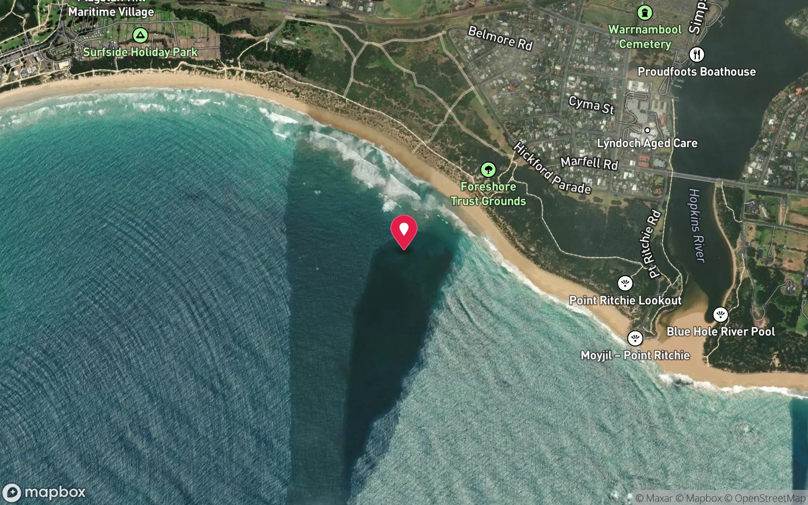
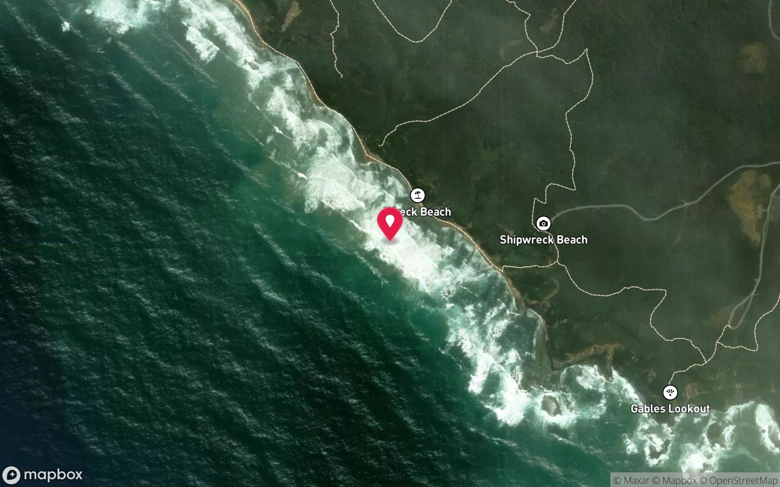
Remains of an 1869 French wooden barque in a shallow gully about 70 m off Wreck Beach, 330 m east of the Fiji; two anchors and a windlass stand on the beach at low tide.
Follow Moonlight Head Road (unsealed) south from the Great Ocean Road between Lavers Hill and Princetown to the Wreck Beach car park, then descend the track and roughly 350 steps to the beach – 15 minutes down, much longer back up with gear. The beach is only passable around low tide. Walk west along the sand; the two Admiralty anchors and the windlass of the Marie Gabrielle are the first you reach, with the Fiji anchor a little further on.
The wreck lies in the gully directly in front of the anchors, about 70 m offshore. There is no practical boat access.
Entry: Beach entry from Wreck Beach at dead low tide in nil swell, after the 350-step descent
Facilities: Gravel car park only; no toilets or water; services at Princetown or Lavers Hill.
Weather, swell & tides
Identical to the Fiji: the site is in the surf zone of a fully exposed south-west facing beach and is subject to heavy breakers in anything but nil swell. The Scuba Doctor describes it as a very dangerous and exposed position and recommends calm northerly winds with minimal swell. The whole visit is governed by the tide – the beach is cut off at high water and the gully is only sensibly entered around low tide.
Realistically a few days a year; most visitors photograph the anchors from the sand.
Best season: Late summer and autumn, dead low tide, nil swell with northerly wind
If it's blown out
Sheltered or shore sites within 25 km that often work when Marie Gabrielle doesn't.
- Fiji · 0 km · Max 7 m
- Port Campbell Jetty · 24 km · Max 8 m
- Port Campbell Bay · 24 km · Max 12 m
- Napier · 24 km · Max 8 m
How the dive is usually run
At dead low tide on a flat day, wade out from the anchors through the boulders and snorkel or dive the gully in 1–3 m, following the anchor chain seaward from the beach anchors to the chain mound, iron knees and mast hoops. Stay within the gully, keep an eye on the sets, and return to the beach the same way well before the tide turns.
Marine life
- Kelp
- abalone
- limpets
- small wrasse and sweep in the gully; little else in the surf zone
Linked species have their own page listing every site where they are recorded. All marine life →
Training required
Shallow enough for snorkellers and for a first dive under supervision. Any certified diver can dive it.
Courses that help here
- Drysuit Diver – Cold water; locals dive dry for much of the year.
Depth tiers: 0–10 m easy · to 18 m Open Water · 18–30 m Advanced (25 m+ is a deep dive) · 30–40 m Deep specialty · 40 m+ technical. All courses
Hazards & warnings
Surf zone on an exposed beach; heavy breakers in any swell; beach cut off at high tide; 350 steps; remote, no phone coverage. Protected shipwreck – no artefact removal.
Dive centres that go here
No operator – seen on foot by Great Ocean Walk hikers at low tide; snorkelled or dived only in exceptional calm.
Other dive centres in Shipwreck Coast & Warrnambool
Warrnambool Diving
Named by sitesWarrnambool · Shipwreck Coast & Warrnambool · VIC
Trades as Warrnambool Diving & Firearms.
divingandfirearms.com.au · (03) 5562 1685
Daktari Sport (Daktari Surf & Dive)
Named by sitesPort Fairy · Shipwreck Coast & Warrnambool · VIC
Website live for 2026 with current PADI course prices; stores in Port Fairy, Hamilton and Mount Gambier.
daktarisport.com.au
Port Campbell Boat Charters
Named by sitesPort Campbell · Shipwreck Coast & Warrnambool · VIC
Listed at 32 Lord St Port Campbell offering scenic, fishing, snorkelling and diving trips; a listing says tours were suspended for pier maintenance and current status is unconfirmed.
portcampbellboatcharters.com.au · 0428 986 366
All dive centres in Victoria →
Operators mentioned: None local
Map
7 pinned sites. Pins marked approximate on their pages show the general area only; not for navigation.
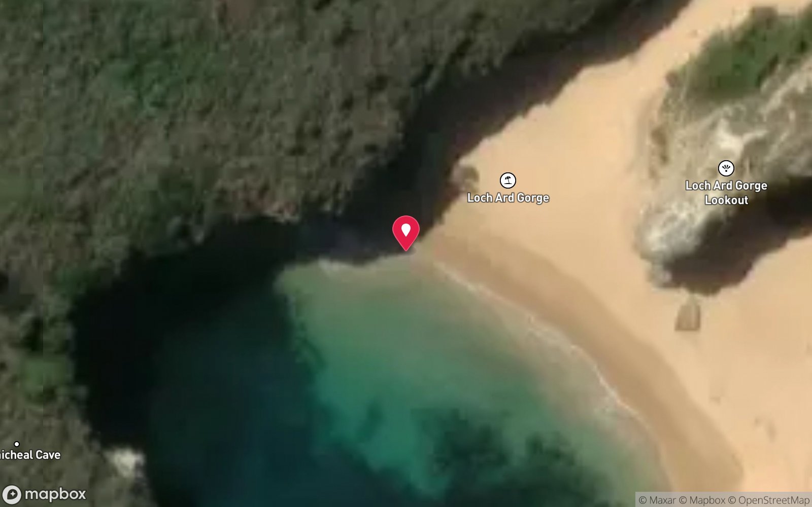
Satellite views
Marie Gabrielle: frequently asked questions
How deep is Marie Gabrielle?
Marie Gabrielle reaches a maximum depth of 3 m, with the shallowest part at about 1 m; most of the dive is spent around 2 m.
What certification do I need to dive Marie Gabrielle?
Open Water is the recommended minimum. Rated advanced because of cold water.
Can I shore dive Marie Gabrielle?
Experienced divers do dive Marie Gabrielle from the shore, but the entry or conditions make it unsuitable for newer divers without local guidance. Entry: Beach entry from Wreck Beach at dead low tide in nil swell, after the 350-step descent.
When is the best time to dive Marie Gabrielle?
Late summer and autumn, dead low tide, nil swell with northerly wind.
What marine life will I see at Marie Gabrielle?
Regularly recorded: Kelp, abalone, limpets, small wrasse and sweep in the gully; little else in the surf zone.
What wetsuit do I need at Marie Gabrielle?
7mm semi-dry with hood and gloves in summer; drysuit strongly preferred May–November.
How cold is the water at Marie Gabrielle?
Typically 16-19 °C in summer and 11-14 °C in winter.
What are the main hazards at Marie Gabrielle?
Surf zone on an exposed beach; heavy breakers in any swell; beach cut off at high tide; 350 steps; remote, no phone coverage. See the hazards section above for the full list.
Where is the nearest recompression chamber to Marie Gabrielle?
The Alfred (Melbourne). In an emergency call 000, then DAN Asia-Pacific on 1800 088 200.
Diving in Shipwreck Coast & Warrnambool
The coast between Cape Otway and Port Fairy earned its name honestly: the Loch Ard, the Falls of Halladale, the Schomberg and dozens of others lie in the shallows below the limestone cliffs. Warrnambool's Breakwater, Port Fairy's Griffiths Island and the Lady Bay reefs are dived on the rare days of nil swell, and Julia Percy Island has fur seals.
Getting there: Three to four hours west of Melbourne along the Great Ocean Road. Shore dives at Warrnambool and Port Fairy; local club boat dives.
All Shipwreck Coast & Warrnambool dive sites and a suggested itinerary →
Sources
Data confidence: Medium · Being verified: Vessel length not published; wreck date given as 25 or 29 November 1869 in different sources.. Last updated September 2026. Know this site better? How to send a correction