Dive slate · divesites.com.au · printed 8 Nov 2026
Napier
Shipwreck Coast & Warrnambool, Victoria · near Port Campbell
| Depth | 3–8 m |
|---|---|
| Minimum level | Open Water |
| Difficulty | Intermediate |
| Access | Shore |
| Entry | Beach entry from Port Campbell beach or giant stride from the jetty, then swim west along the eastern reef wall |
| Current | Mild |
| Visibility | 3-15 m |
| Water | summer 16-19 °C, winter 11-14 °C |
| Suit | 7mm semi-dry with hood and gloves in summer; drysuit strongly preferred May–November |
| Best season | Autumn and summer on low swell; sheltered enough for many winter northerlies |
| Bottom time | 45 min |
| Position | -38.62080, 142.98960 (GPS) |
| Permit | Protected historic shipwreck (Heritage Act 2017); Port Campbell Bay lies outside the marine national park – Victorian bag limits apply |
| Nearest chamber | The Alfred (Melbourne) |
| Emergency | 000 · DAN Asia-Pacific diving emergency 1800 088 200 |
Napier
Also known as SS Napier wreck, Port Campbell Bay wreck
The scattered frames of the steamer that sank while salvaging the Loch Ard, on the sheltered Port Campbell Bay shore dive – a piece of the 1878 story reachable from the beach.
Near Port Campbell · Shipwreck Coast & Warrnambool, Victoria
- Depth
- 3–8 m
- Minimum level
- Open Water
- Access
- Shore
- Boat ride
- Shore entry
- Water
- 16-19 °C
- Visibility
- 3-15 m
Napier3–8 m · Open Water · Shore
Dive factsDepths, conditions, location & safety
Season
Off-peak nowBest months: January, February, March, April, May, June, July, August, December.
Autumn and summer on low swell; sheltered enough for many winter northerlies
- Best months
- Now (November)
Dive facts
- Depth
- 3–8 m
- Typical depth
- 6 m
- Certification
- Open Water
- Difficulty
- Intermediate
- Depth tier
- Easy (0–10 m)
- Access
- Shore
- Offshore
- 0.1 km
- Dive centre needed
- No – independently diveable
- Shore / independent
- Yes
- Current
- Mild
- Visibility
- 3-15 m
- Water temp (summer)
- 16-19 °C
- Water temp (winter)
- 11-14 °C
- Water
- Temperate
- Bottom time
- 45 min
- Dive traffic
- Moderate (occasional charters/club dives)
- Night dive
- Possible
- Snorkel friendly
- Partial
Exposure suit
7mm semi-dry with hood and gloves in summer; drysuit strongly preferred May–November
Location
Port Campbell Bay · Shipwreck Coast – Port Campbell
-38.62080, 142.98960
Published GPS position.
Open in Google MapsPrimary source: scubadoctor.com.auMarine park & permits
Protected historic shipwreck (Heritage Act 2017); Port Campbell Bay lies outside the marine national park – Victorian bag limits apply
Nearest recompression chamber
The Alfred (Melbourne)
Diving emergency: call 000, then DAN AP 1800 088 200.
Trip planner
Build a trip around Napier →
A day-by-day plan for Shipwreck Coast & Warrnambool with this site locked in.
This guide is a planning aid. Conditions change daily — confirm with a local dive centre and dive within your training. Data & safety notes.
Dive profile
How this site rates
Scores are computed from the recorded data, not opinions. How?
At a glance
Napier is a wreck shore dive you can do independently in Shipwreck Coast & Warrnambool, VIC, 3–8 m, suited to Open Water divers.
Rated intermediate because of surge on the entry or in the shallows, boat traffic overhead, cold water.
Why dive here
- The scattered frames of the steamer that sank while salvaging the Loch Ard, on the sheltered Port Campbell Bay shore dive – a piece of the 1878 story reachable from the beach.
- Sunk in 1878 (Iron-framed wooden steamer, 132 GRT, 36.8 m (120.6 ft)); protected as underwater cultural heritage, so look but do not touch.
About Napier
The Napier was a small iron-framed, wooden-planked steamer of 132 tons, built by Abraham Graham at Goolwa on the Murray in 1874 and later employed on the Victorian coast. In September 1878 she was chartered to salvage cargo from the Loch Ard, wrecked three months earlier under Mutton Bird Island a few kilometres to the east. Returning to Port Campbell on 16 September with a load of salvaged goods, she lost sternway rounding the eastern reef and bluff at the entrance to Port Campbell Bay, was carried by the swell onto the rocks and sank. Her boiler and frames stood out of the water beneath the cliffs opposite the jetty for many years and were a local landmark. She is, in effect, a footnote to the Loch Ard story, and the two wrecks are usually described together on the Historic Shipwreck Trail.
What remains today is a scatter of iron frames, plating and fittings in 5–8 m among the boulders and ledges below the eastern cliff, mixed with the overgrown mooring debris of engine blocks and gearboxes that the local fishing fleet has dropped over the decades. The site is reached on the standard Port Campbell Bay shore dive by following the eastern reef wall seaward, and it adds a wreck to what is already the best sheltered shore dive on the Shipwreck Coast: kelp and seagrass, crayfish and nudibranchs among the weed, wrasse, herring cale, sea sweep and bastard trumpeter along the wall, and rays on the sand. It is protected as a historic shipwreck and nothing may be taken. As a dive it is easy in depth and navigation and suits Open Water divers, with the caveat that the eastern side of the bay near the entrance picks up surge before the beach does. It is best treated as the outer turn-point of a Port Campbell Bay dive rather than as a destination in itself.
Wreck details
Iron-framed wooden steamer, 132 GRT, 36.8 m (120.6 ft) · Sunk 1878 · Protected historic shipwreck
Era: colonial sail and steam. Oldest wrecks · Wartime wrecks · Scuttled warships
Other wrecks of the same era
- Loch Ard · Max 25 m · Shipwreck Coast & Warrnambool
- Eliza Ramsden · Max 22 m · Port Phillip Heads
- George Roper · Max 6 m · Port Phillip Heads
- SS Barwon & Horseshoe Reef, Cape Bridgewater · Max 8 m · Portland & the West
- SS Gulf of Carpentaria · Max 50 m · Wilsons Promontory
- Glaneuse · Max 6 m · Port Phillip Heads
Getting there & entry
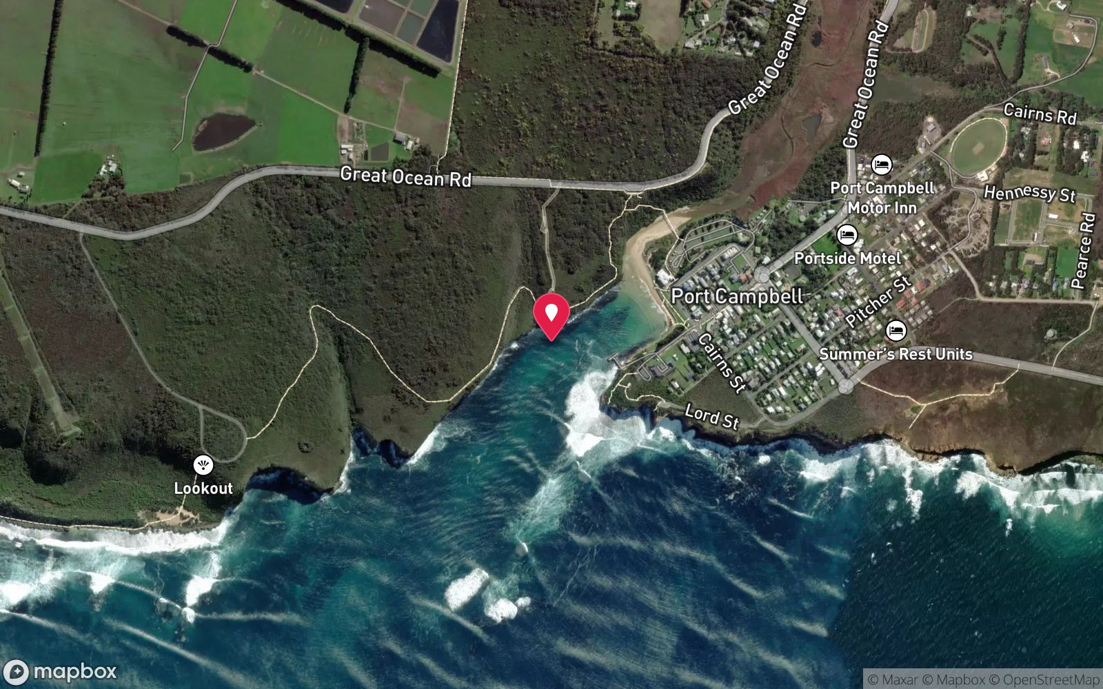
Remains of an 1878 salvage steamer beneath the eastern cliffs of Port Campbell Bay, about 180 m west of the jetty, in up to 8 m.
Port Campbell is on the Great Ocean Road 66 km east of Warrnambool. Park along Lord Street beside the jetty or on Cairns Street behind the surf club (both a minute's walk from the water). Enter from the beach in front of the surf club or from the jetty steps, and follow the eastern reef wall of the bay seaward; the Napier lies beneath the cliffs opposite the jetty, roughly 180 m west of it, near the old mooring debris.
It is the same entry as the Port Campbell Bay and Jetty dives and is usually combined with them. Boat launching is by the jetty crane (permit holders only) but is unnecessary for this site.
Entry: Beach entry from Port Campbell beach or giant stride from the jetty, then swim west along the eastern reef wall
Facilities: Street parking on Lord and Cairns Streets, toilets and showers at the foreshore/surf club, cafes and pub within 200 m, caravan park; jetty crane for permit holders; no air fills – nearest Warrnambool.
Weather, swell & tides
Port Campbell Bay is a narrow, partly in-filled valley whose entrance filters the swell, so the inner bay is often diveable when the open coast is not; waves at the beach average 0.5 m. The Napier lies on the eastern side toward the entrance, where surge increases in any south-westerly swell, so aim for swell under about 1 m and low tide with light winds from west through east; a moderate to strong southerly makes the whole bay surge and drops visibility. Visibility ranges from 3 m after a blow to 20 m in settled autumn weather.
Rips form at the entrance only in big seas.
Best season: Autumn and summer on low swell; sheltered enough for many winter northerlies
If it's blown out
Sheltered or shore sites within 25 km that often work when Napier doesn't.
- Port Campbell Jetty · 0 km · Max 8 m
- Port Campbell Bay · 0 km · Max 12 m
- Newfield · 7 km · Max 7 m
- Schomberg · 8 km · Max 10 m
How the dive is usually run
From the beach or jetty follow the eastern reef wall out with the wall on your right in 3–6 m. After about 150 m look for iron frames, plating and old mooring blocks below the cliff in 5–8 m; explore the scatter and the ledges either side, turn at half gas and return along the same wall to the jetty or the beach.
Marine life
- Southern rock lobster
- nudibranchs →
- blue-throat wrasse
- herring cale
- sea sweep
- bastard trumpeter
- smooth and eagle rays
- kelp and seagrass
- encrusting growth on the iron
Linked species have their own page listing every site where they are recorded. All marine life →
Training required
Shallow enough for snorkellers and for a first dive under supervision. Any certified diver can dive it.
Courses that help here
- Drysuit Diver – Cold water; locals dive dry for much of the year.
Depth tiers: 0–10 m easy · to 18 m Open Water · 18–30 m Advanced (25 m+ is a deep dive) · 30–40 m Deep specialty · 40 m+ technical. All courses
Hazards & warnings
Surge toward the bay entrance in southerly swell; boat traffic to and from the jetty and moorings – tow a flag; fishing lines from the jetty; sea cages (lobster coffs) near the jetty must not be approached. Protected shipwreck – no artefact removal. Exit at the beach or jetty steps.
Dive centres that go here
No operator in Port Campbell; dived independently and by Warrnambool Diving and visiting clubs as part of the Port Campbell Bay shore dive.
Operators recorded for Napier
Other dive centres in Shipwreck Coast & Warrnambool
Daktari Sport (Daktari Surf & Dive)
Named by sitesPort Fairy · Shipwreck Coast & Warrnambool · VIC
Website live for 2026 with current PADI course prices; stores in Port Fairy, Hamilton and Mount Gambier.
daktarisport.com.au
Port Campbell Boat Charters
Named by sitesPort Campbell · Shipwreck Coast & Warrnambool · VIC
Listed at 32 Lord St Port Campbell offering scenic, fishing, snorkelling and diving trips; a listing says tours were suspended for pier maintenance and current status is unconfirmed.
portcampbellboatcharters.com.au · 0428 986 366
Map
7 pinned sites. Pins marked approximate on their pages show the general area only; not for navigation.
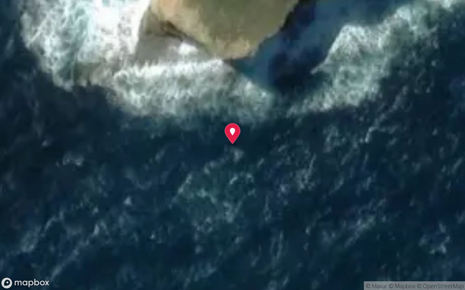
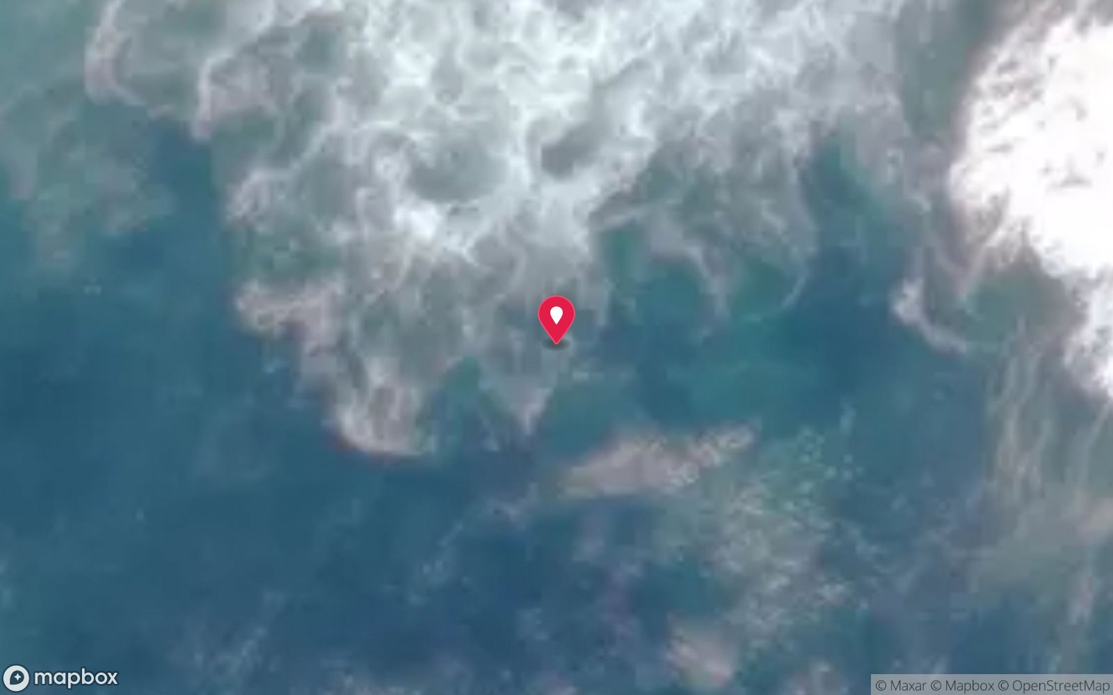
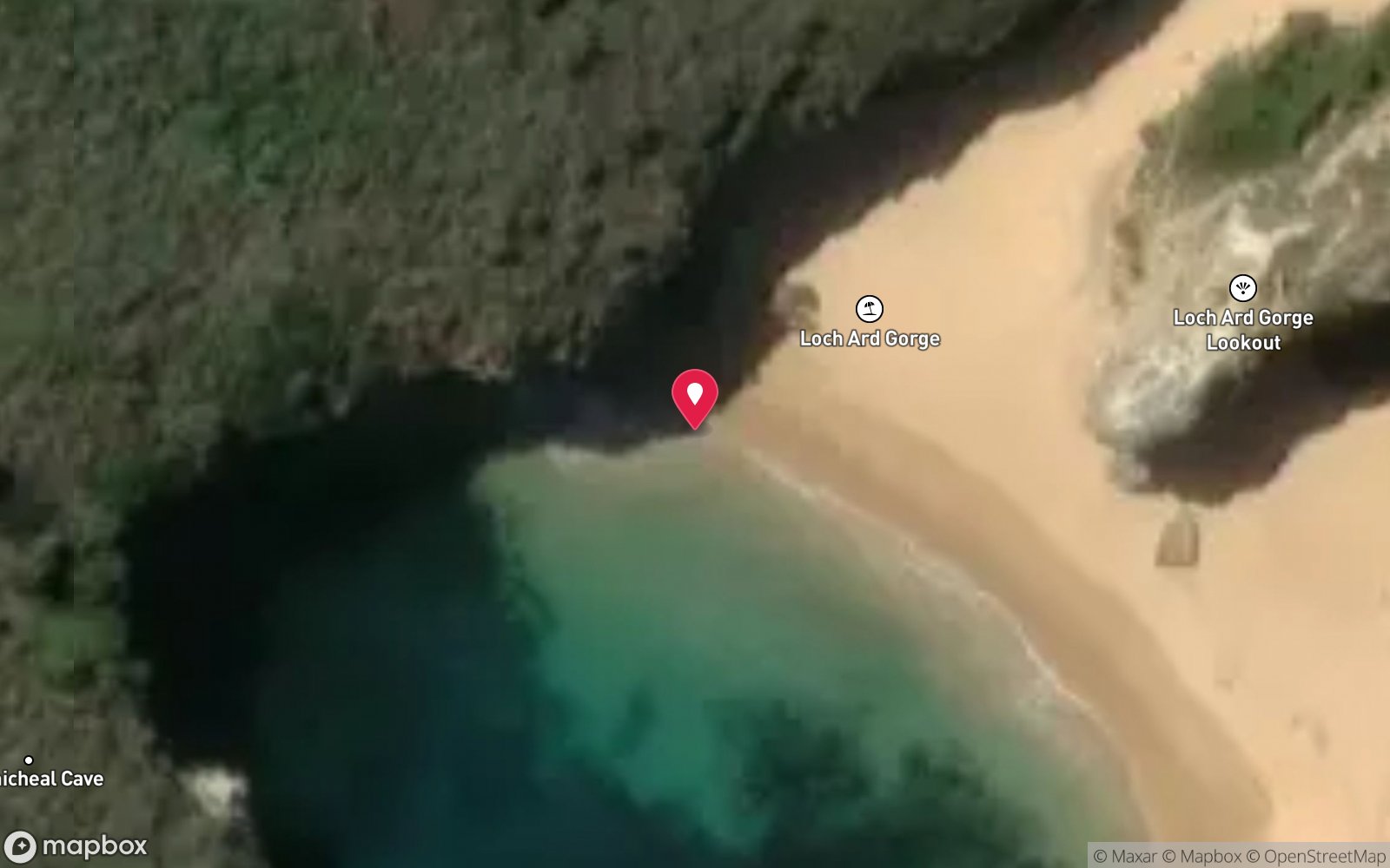
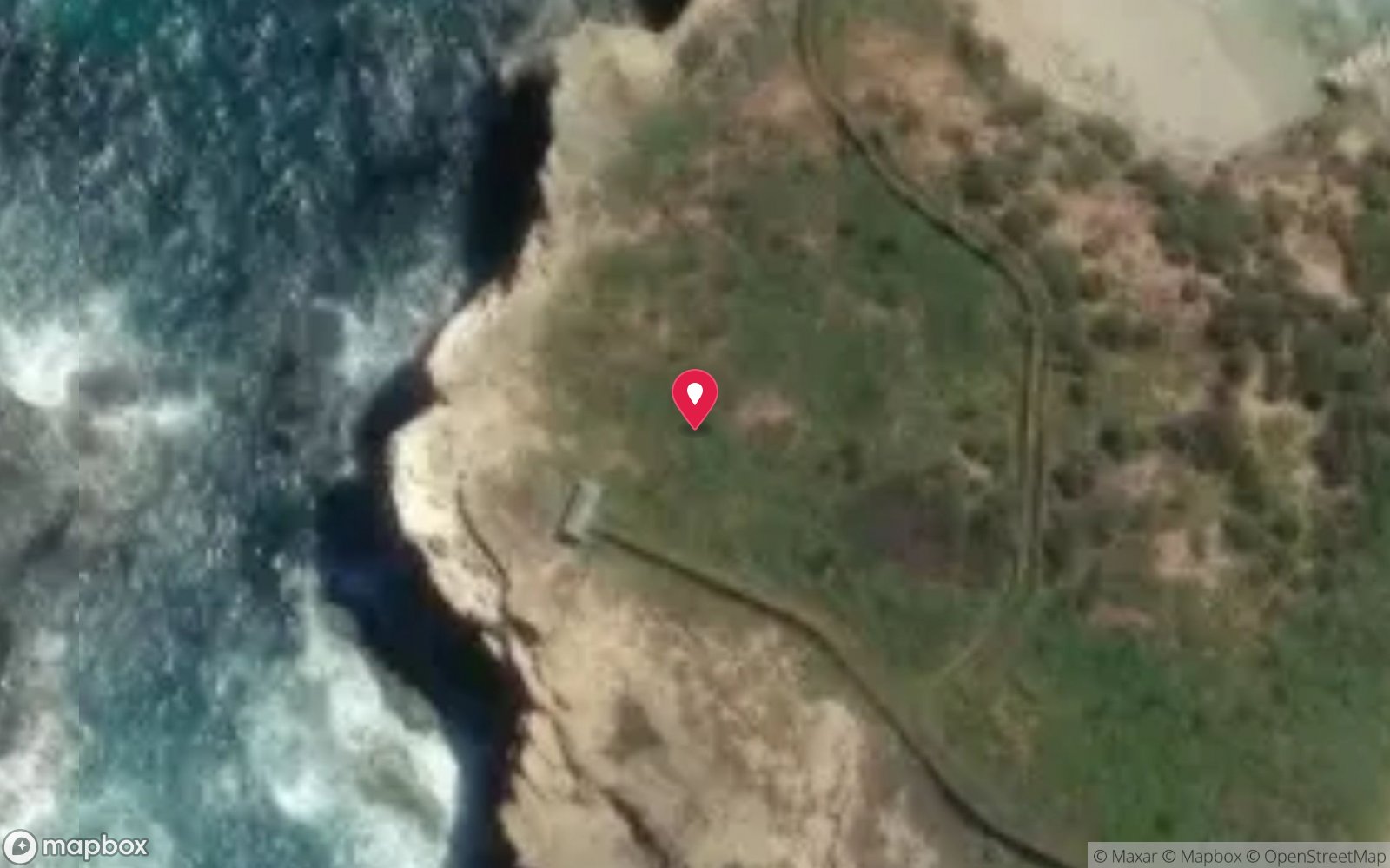
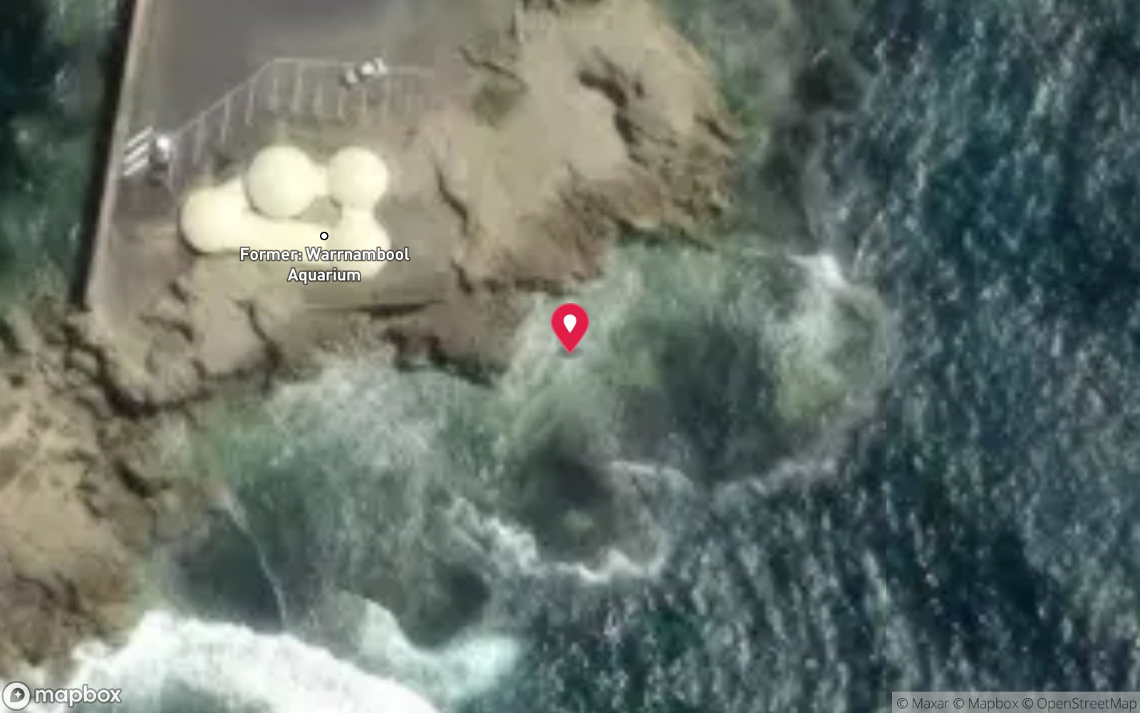
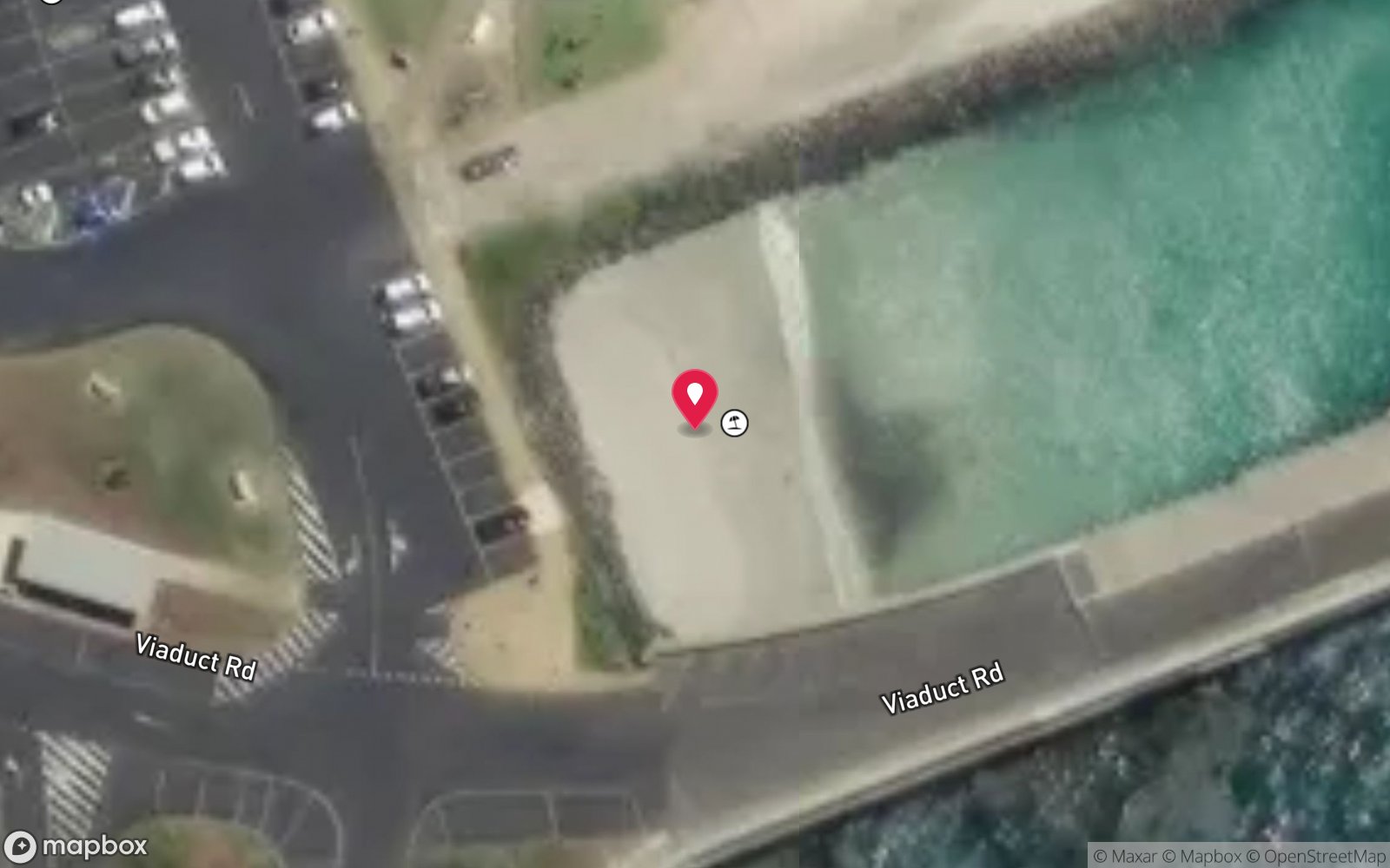
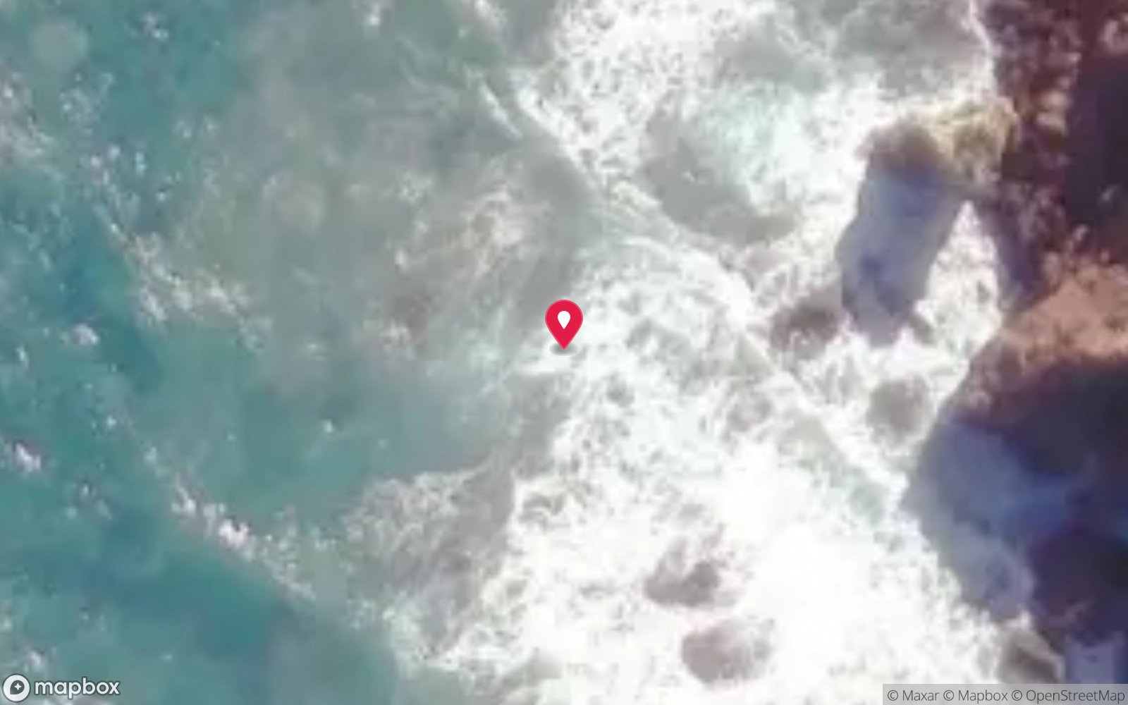
Satellite views
Napier: frequently asked questions
How deep is Napier?
Napier reaches a maximum depth of 8 m, with the shallowest part at about 3 m; most of the dive is spent around 6 m.
What certification do I need to dive Napier?
Open Water is the recommended minimum. Rated intermediate because of surge on the entry or in the shallows, boat traffic overhead, cold water.
Can I shore dive Napier?
Yes. Napier is a shore dive that can be done independently: beach entry from Port Campbell beach or giant stride from the jetty, then swim west along the eastern reef wall.
When is the best time to dive Napier?
Autumn and summer on low swell; sheltered enough for many winter northerlies.
What marine life will I see at Napier?
Regularly recorded: Southern rock lobster, nudibranchs, blue-throat wrasse, herring cale, sea sweep, bastard trumpeter, smooth and eagle rays, kelp and seagrass, encrusting growth on the iron.
What wetsuit do I need at Napier?
7mm semi-dry with hood and gloves in summer; drysuit strongly preferred May–November.
How cold is the water at Napier?
Typically 16-19 °C in summer and 11-14 °C in winter.
What are the main hazards at Napier?
Surge toward the bay entrance in southerly swell; boat traffic to and from the jetty and moorings – tow a flag; fishing lines from the jetty; sea cages (lobster coffs) near the jetty must not be approached. See the hazards section above for the full list.
Where is the nearest recompression chamber to Napier?
The Alfred (Melbourne). In an emergency call 000, then DAN Asia-Pacific on 1800 088 200.
Diving in Shipwreck Coast & Warrnambool
The coast between Cape Otway and Port Fairy earned its name honestly: the Loch Ard, the Falls of Halladale, the Schomberg and dozens of others lie in the shallows below the limestone cliffs. Warrnambool's Breakwater, Port Fairy's Griffiths Island and the Lady Bay reefs are dived on the rare days of nil swell, and Julia Percy Island has fur seals.
Getting there: Three to four hours west of Melbourne along the Great Ocean Road. Shore dives at Warrnambool and Port Fairy; local club boat dives.
All Shipwreck Coast & Warrnambool dive sites and a suggested itinerary →
Sources
- scubadoctor.com.au/divesite.htm?site=Napier
- scubadoctor.com.au/divesite.htm?site=Port-Campbell-Bay
- scubadoctor.com.au/west-coast-shipwreck-trail.htm
Data confidence: Medium · Being verified: Extent of visible remains today; exact position under the cliff.. Last updated September 2026. Know this site better? How to send a correction
Nearby dive sites
More wrecks in Victoria
Explore more
This region
Similar dives
Marine life