Dive slate · divesites.com.au · printed 8 Nov 2026
SS Gulf of Carpentaria
Wilsons Promontory, Victoria · near Tidal River / Port Welshpool
| Depth | 40–50 m |
|---|---|
| Minimum level | Technical (decompression) |
| Difficulty | Expert/Technical |
| Access | Boat (multi-day/liveaboard) |
| Entry | Backward roll from an expedition or charter vessel at slack water; shot line placed on the wreck beside the rock |
| Current | Strong |
| Visibility | 15-30 m |
| Water | summer 16-19 °C, winter 12-14 °C |
| Suit | Drysuit recommended; 7 mm semi-dry in summer for experienced divers |
| Best season | Autumn (Mar–May) for settled seas; slack water essential |
| Bottom time | 20 min |
| Position | -39.14625, 146.29408 (GPS) |
| Permit | Wilsons Promontory Marine National Park – no fishing or collecting; historic shipwreck protected – no artefact removal. No dive permit required. |
| Nearest chamber | The Alfred (Melbourne) |
| Emergency | 000 · DAN Asia-Pacific diving emergency 1800 088 200 |
SS Gulf of Carpentaria
Also known as Gulf of Carpentaria wreck, Carpentaria Rock
An unsalvaged 1881 cargo liner lying collapsed at the foot of the uncharted pinnacle that sank her in 1885, in 48–50 m of pristine marine-park water off Wilsons Prom, with fur seals and a wall to decompress on.
Near Tidal River / Port Welshpool · Wilsons Promontory, Victoria
- Depth
- 40–50 m
- Minimum level
- Technical (decompression)
- Access
- Boat (multi-day/liveaboard)
- Boat ride
- ~120 min
- Water
- 16-19 °C
- Visibility
- 15-30 m
SS Gulf of Carpentaria40–50 m · Technical (decompression)
Dive factsDepths, conditions, location & safety
Season
Off-peak nowBest months: March, April, May.
Autumn (Mar–May) for settled seas; slack water essential
- Best months
- Now (November)
Dive facts
- Depth
- 40–50 m
- Typical depth
- 46 m
- Certification
- Technical (decompression)
- Difficulty
- Expert/Technical
- Depth tier
- Technical (40 m +)
- Access
- Boat (multi-day/liveaboard)
- Offshore
- 45 km
- Dive centre needed
- Yes – boat access only
- Shore / independent
- No
- Boat ride
- ~120 min
- Current
- Strong
- Visibility
- 15-30 m
- Water temp (summer)
- 16-19 °C
- Water temp (winter)
- 12-14 °C
- Water
- Cold Temperate
- Bottom time
- 20 min
- Dive traffic
- Remote/expedition only
- Night dive
- No
- Snorkel friendly
- No
Exposure suit
Drysuit recommended; 7 mm semi-dry in summer for experienced divers
Location
Wilsons Promontory – Anser Group · Gippsland & Wilsons Promontory
-39.14625, 146.29408
Published GPS position.
Open in Google MapsPrimary source: scubadoctor.com.auMarine park & permits
Wilsons Promontory Marine National Park – no fishing or collecting; historic shipwreck protected – no artefact removal. No dive permit required.
Nearest recompression chamber
The Alfred (Melbourne)
Diving emergency: call 000, then DAN AP 1800 088 200.
Trip planner
Build a trip around SS Gulf of Carpentaria →
A day-by-day plan for Wilsons Promontory with this site locked in.
This guide is a planning aid. Conditions change daily — confirm with a local dive centre and dive within your training. Data & safety notes.
Dive profile
How this site rates
Scores are computed from the recorded data, not opinions. How?
At a glance
SS Gulf of Carpentaria is a wreck liveaboard-only site in Wilsons Promontory, VIC, 40–50 m, suited to Technical (decompression) divers, strong current, about 120 minutes by boat.
Rated expert/technical because of depth to 50 m, strong current, cold water.
Why dive here
- An unsalvaged 1881 cargo liner lying collapsed at the foot of the uncharted pinnacle that sank her in 1885, in 48–50 m of pristine marine-park water off Wilsons Prom, with fur seals and a wall to decompress on.
- Sunk in 1885 (Iron screw steamer, 88.3 m (290 ft), 2,434 gt); protected as underwater cultural heritage, so look but do not touch.
- Rarely dived: expect to have the site to yourself, and plan your own logistics.
- Visibility often reaches 15-30 m.
About SS Gulf of Carpentaria
Gulf of Carpentaria was a big iron screw steamer of 2,434 tons, 88.3 m (290 ft) long, built by William Gray and Co at West Hartlepool in 1881 with a double bottom and six watertight compartments, one of the new generation of cargo liners on the England–Australia run. On 15 September 1885, outward bound for England under Captain Robert Thompson and steaming westward at full speed past Wilsons Promontory, she struck an uncharted rock in the Anser Group – a pinnacle only 40 m across rising to within 5 m of the surface – and went down head first in the deeper water beside it. No lives were lost.
The rock has been Carpentaria Rock ever since, and the wreck was never salvaged. She lies in 48–50 m at the foot of the pinnacle, mostly collapsed after 140 years of Bass Strait swell – nature, as the Scuba Doctor puts it, is reclaiming her – but the size of the ship means there is a great deal of iron: hull plating and frames, boilers and the engine, and the bow where she struck. Because the site is inside the Wilsons Promontory Marine National Park and far from any port, it is pristine: the wreck and the pinnacle are smothered in sponges, jewel anemones, sea whips and zoanthids, with schools of butterfly perch, boarfish, ling and big crayfish, and the Australian fur seals of Kanowna Island 1.2 km away frequently join divers.
Visibility of 20–30 m is normal. It is a decompression dive at the far end of a two-hour passage, restricted to slack water, and it is done a few times a year by Melbourne technical clubs and Prom expeditions. The great advantage over the deep Graveyard wrecks is the pinnacle itself, which allows the decompression to be done on a spectacular wall rather than hanging in blue water.
It suits technical divers who want a genuine expedition with an unsalvaged Victorian-era liner and world-class reef in the same dive.
Wreck details
Iron screw steamer, 88.3 m (290 ft), 2,434 gt · Sunk 1885 · Protected historic shipwreck
Era: colonial sail and steam. Oldest wrecks · Wartime wrecks · Scuttled warships
Other wrecks of the same era
- Glaneuse · Max 6 m · Port Phillip Heads
- George Roper · Max 6 m · Port Phillip Heads
- SS Cheviot · Max 7 m · Port Phillip Heads
- Edinburgh Castle · Max 5 m · Shipwreck Coast & Warrnambool
- Holyhead · Max 10 m · Port Phillip Heads
- Fiji · Max 7 m · Shipwreck Coast & Warrnambool
Getting there & entry
On the seabed beside Carpentaria Rock, an isolated pinnacle rising to 5 m in the Anser Island group off the south-west of Wilsons Promontory, 1.2 km from Kanowna Island, within the Wilsons Promontory Marine National Park.
Boat only and remote. The Anser Group lies off the south-western tip of Wilsons Promontory, 40–50 km by sea from Port Welshpool (the usual departure; Lewis Channel ramp and wharf, parking, toilets, fuel) or from Port Franklin, and roughly 30 km from Tidal River, which has no boat access. Drive Melbourne–Port Welshpool via the South Gippsland Highway, about 2 h 45 min.
Trips are organised by Melbourne technical clubs and the occasional Prom dive expedition, often camping overnight at Refuge Cove or Waterloo Bay to be on site at dawn slack. The rock itself is unmarked and only 40 m across – a sounder and the GPS mark are essential. Marine national park – no fishing or collecting.
Entry: Backward roll from an expedition or charter vessel at slack water; shot line placed on the wreck beside the rock
Facilities: Port Welshpool wharf and ramp (parking, toilets, fuel); Tidal River campground (no boat access)
Weather, swell & tides
The Anser Group sits in the tidal race between Wilsons Promontory and the Bass Strait islands, and the Scuba Doctor restricts the site to slack water flood or ebb (SWF, SWE) – outside slack the current over the pinnacle is unworkable. It is fully exposed to westerly and south-westerly swell wrapping around the Prom; a window needs swell under about 1.5 m and light winds, plus a benign forecast for the 2-hour passage, which in practice means a few days in autumn. Visibility is typically 15–30 m in the clean offshore water.
Fog is common in the same settled conditions.
Best season: Autumn (Mar–May) for settled seas; slack water essential
If it's blown out
Sheltered or shore sites within 25 km that often work when SS Gulf of Carpentaria doesn't.
- Norman Point, South (Little Oberon Bay) · 11 km · Max 18 m
- Norman Bay, South · 11 km · Max 18 m
- Pillar Point Bommie · 12 km · Max 25 m
- Pillar Point, South · 12 km · Max 10 m
How the dive is usually run
At slack water, descend the shot beside Carpentaria Rock to the collapsed hull in 45–50 m, survey the bow (which went down head first into the deeper water beside the rock), the boilers and engine and the debris trail towards the pinnacle in 20 minutes, then ascend the pinnacle wall to decompress on the rock's 5 m summit out of the current.
Marine life
- Sponges
- jewel anemones
- sea whips
- zoanthids
- butterfly perch
- boarfish
- ling
- southern rock lobster
- Australian fur seals →
- blue devilfish →
- occasional dolphins
Linked species have their own page listing every site where they are recorded. All marine life →
Training required
Beyond recreational limits: decompression, mixed gas or full cave/wreck training is required.
Courses that help here
- Enriched Air Nitrox – Longer no-decompression time at 25 m and deeper.
- Drift Diver – Current is a feature of the dive.
- Drysuit Diver – Cold water; locals dive dry for much of the year.
Depth tiers: 0–10 m easy · to 18 m Open Water · 18–30 m Advanced (25 m+ is a deep dive) · 30–40 m Deep specialty · 40 m+ technical. All courses
Hazards & warnings
Strong tidal currents – slack water only; 50 m depth with decompression; remote – two hours from port, no nearby rescue; exposed to Southern Ocean swell; fog; marine national park – no take; unmarked pinnacle is a hazard to the boat.
Technical notes
Technical (decompression) dive. Normoxic trimix (e.g. 21/35 or 18/45) recommended; 20 min bottom time gives roughly 25–40 min of decompression on EAN50 and oxygen. Air dives to this depth are strongly discouraged.
Drop a weighted shot on the wreck, use a delayed SMB from the wreck or a decompression trapeze under the boat; the site is in a shipping approach so free-drifting deco is discouraged. Decompress on the pinnacle wall; slack water flood or ebb only.
Dive centres that go here
No regular operator. Dived occasionally by Melbourne technical clubs and Prom dive expeditions from Port Welshpool, perhaps a few times a year in autumn; Wilsons Prom charter operators (e.g. from Port Welshpool) will run it by arrangement for qualified groups.
Other dive centres in Wilsons Promontory
Scubabo Dive Victoria (Dive Victoria Group)
Named by sitesQueenscliff · Port Phillip Heads · VIC
Rebranded as Scubabo Dive Victoria, Queenscliff; dive.scubabo.com is live for 2026 with active charter bookings.
dive.scubabo.com · (03) 5258 1188
VSAG
Named by sitesWilsons Promontory · VIC
Victorian Sub-Aqua Group, a non-commercial dive club (est. 1954), not a shop or charter.
vsag.org.au
Dive La Trobe
Named by sitesBundoora · Wilsons Promontory · VIC
University dive club (est. 1968), not a shop; runs SDI courses.
divelatrobe.org.au
Southern Ocean Exploration
Named by sitesPort Phillip Heads · VIC
Non-profit wreck exploration / maritime archaeology group, not a shop or charter.
soe.org.au
All dive centres in Victoria →
Operators mentioned: Melbourne technical dive clubs, Wilsons Prom charter operators (Port Welshpool)
Map
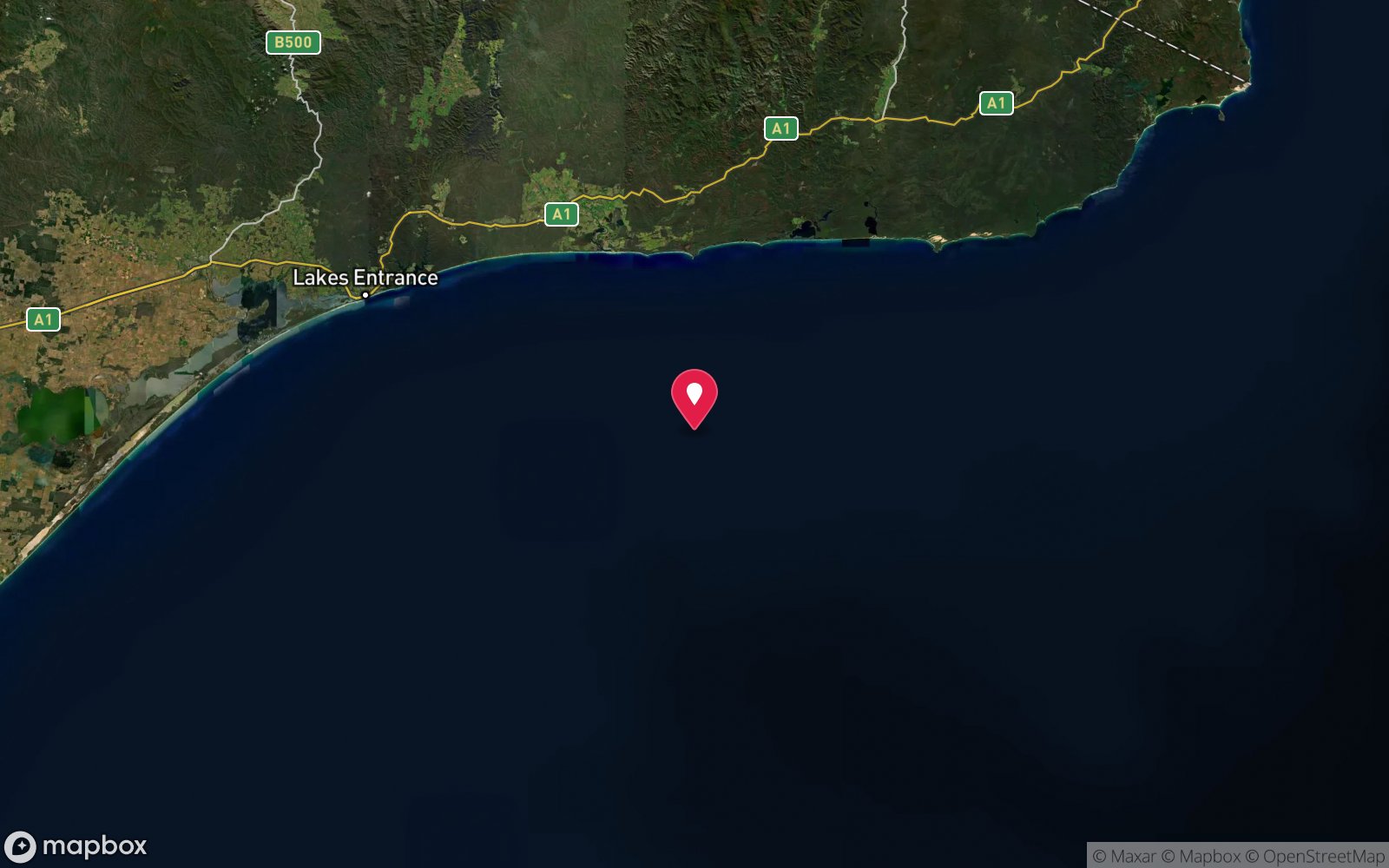
7 pinned sites. Pins marked approximate on their pages show the general area only; not for navigation.
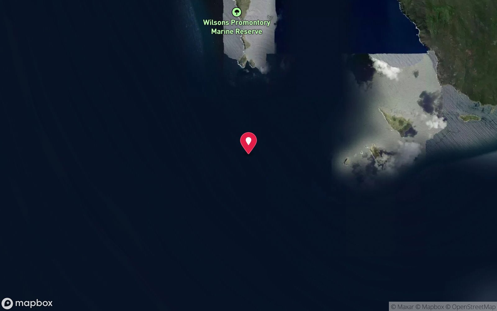
Satellite views
SS Gulf of Carpentaria: frequently asked questions
How deep is SS Gulf of Carpentaria?
SS Gulf of Carpentaria reaches a maximum depth of 50 m, with the shallowest part at about 40 m; most of the dive is spent around 46 m.
What certification do I need to dive SS Gulf of Carpentaria?
Technical (decompression) is the recommended minimum. Rated expert/technical because of depth to 50 m, strong current, cold water.
Can I shore dive SS Gulf of Carpentaria?
No, it is reached by boat (about 120 minutes). A dive centre is required: boat access only.
When is the best time to dive SS Gulf of Carpentaria?
Autumn (Mar–May) for settled seas; slack water essential.
What marine life will I see at SS Gulf of Carpentaria?
Regularly recorded: Sponges, jewel anemones, sea whips, zoanthids, butterfly perch, boarfish, ling, southern rock lobster, Australian fur seals, blue devilfish, occasional dolphins.
What wetsuit do I need at SS Gulf of Carpentaria?
Drysuit recommended; 7 mm semi-dry in summer for experienced divers.
How cold is the water at SS Gulf of Carpentaria?
Typically 16-19 °C in summer and 12-14 °C in winter.
What are the main hazards at SS Gulf of Carpentaria?
Strong tidal currents – slack water only; 50 m depth with decompression; remote – two hours from port, no nearby rescue; exposed to Southern Ocean swell; fog; marine national park – no take; unmarked pinnacle is a hazard to the boat. See the hazards section above for the full list.
Where is the nearest recompression chamber to SS Gulf of Carpentaria?
The Alfred (Melbourne). In an emergency call 000, then DAN Asia-Pacific on 1800 088 200.
Diving in Wilsons Promontory
The Prom is Victoria's wildest and clearest diving: granite pinnacles, walls and boulder fields around the Glennie and Anser groups and Skull Rock, deep wrecks like the SS Kanowna (115 m) and the Cape Liptrap sites, and water that can hit 30 m visibility. Fur seals at Kanowna Island and Norman Island add company.
Getting there: Charters from Port Welshpool or Tidal River, three hours from Melbourne; conditions cancel more trips than they permit.
All Wilsons Promontory dive sites and a suggested itinerary →
Sources
Data confidence: Medium · Being verified: Operator availability from Port Welshpool to confirm; minimum depth estimated. Last updated September 2026. Know this site better? How to send a correction
Nearby dive sites
More wrecks in Victoria
Explore more
This region
Similar dives