Dive slate · divesites.com.au · printed 8 Nov 2026
Pel-Air Westwind wreck
Norfolk Island, External Territories · near Kingston / Burnt Pine
| Depth | 45–54 m |
|---|---|
| Minimum level | Technical (decompression) |
| Difficulty | Expert/Technical |
| Access | Boat (day trip) |
| Entry | Backward roll from the small open dive boat |
| Current | Variable/Tidal |
| Visibility | 20-40 m |
| Water | summer 22-25 °C, winter 18-19 °C |
| Suit | 5 mm full suit year-round; add a hood or vest June–October |
| Best season | November–April for warmer water and lighter winds; winter can give 40 m visibility but more days lost to wind |
| Bottom time | 15 min |
| Position | not published |
| Permit | Norfolk Marine Park (Parks Australia) – Special Purpose Zone around the island; check the Parks Australia activity table |
| Nearest chamber | Prince of Wales Hospital (Randwick, Sydney) – about 1,700 km; no chamber on Norfolk Island, aeromedical evacuation from Norfolk Island Airport via the Norfolk Island Health service (Auckland may be used – confirm) |
| Emergency | 000 · DAN Asia-Pacific diving emergency 1800 088 200 |
Pel-Air Westwind wreck
Also known as Westwind aircraft wreck, VH-NGA
Largely intact Westwind medevac jet at 48 m from the 2009 night ditching in which all six aboard survived.
Near Kingston / Burnt Pine · Norfolk Island, External Territories
- Depth
- 45–54 m
- Minimum level
- Technical (decompression)
- Access
- Boat (day trip)
- Boat ride
- —
- Water
- 22-25 °C
- Visibility
- 20-40 m
Pel-Air Westwind wreck45–54 m · Technical (decompression)
Dive factsDepths, conditions, location & safety
Season
In season nowBest months: January, February, March, April, June, July, August, November, December.
November–April for warmer water and lighter winds; winter can give 40 m visibility but more days lost to wind
- Best months
- Now (November)
- Stinger suit Nov–May
Dive facts
- Depth
- 45–54 m
- Typical depth
- 48 m
- Certification
- Technical (decompression)
- Difficulty
- Expert/Technical
- Depth tier
- Technical (40 m +)
- Access
- Boat (day trip)
- Offshore
- 5 km
- Dive centre needed
- Yes – boat access only
- Shore / independent
- No
- Current
- Variable/Tidal
- Visibility
- 20-40 m
- Water temp (summer)
- 22-25 °C
- Water temp (winter)
- 18-19 °C
- Water
- Subtropical
- Bottom time
- 15 min
- Dive traffic
- Remote/expedition only
- Night dive
- No
- Snorkel friendly
- No
Exposure suit
5 mm full suit year-round; add a hood or vest June–October
Location
Off the west coast (about 6 km WSW of Norfolk Island Airport)
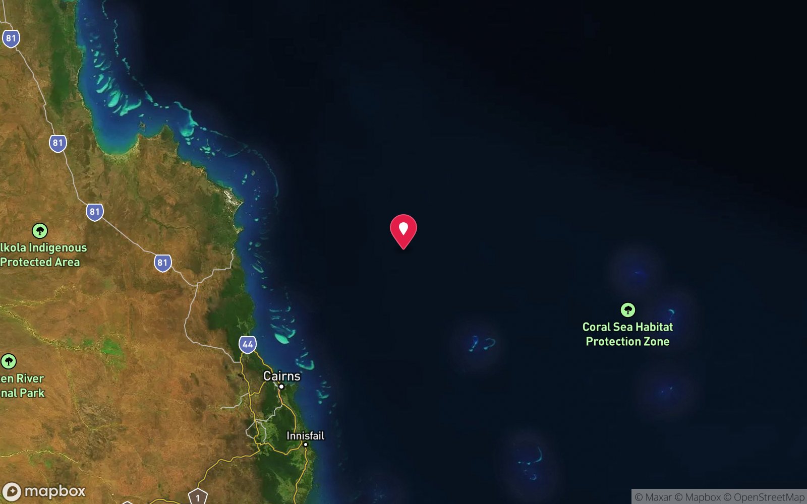
No published coordinates. The map above shows the general area, estimated from other documented sites near Kingston.
Primary source: australianaviation.com.auMarine park & permits
Norfolk Marine Park (Parks Australia) – Special Purpose Zone around the island; check the Parks Australia activity table
Nearest recompression chamber
Prince of Wales Hospital (Randwick, Sydney) – about 1,700 km; no chamber on Norfolk Island, aeromedical evacuation from Norfolk Island Airport via the Norfolk Island Health service (Auckland may be used – confirm)
Diving emergency: call 000, then DAN AP 1800 088 200.
Trip planner
Build a trip around Pel-Air Westwind wreck →
A day-by-day plan for Norfolk Island with this site locked in.
This guide is a planning aid. Conditions change daily — confirm with a local dive centre and dive within your training. Data & safety notes.
Dive profile
How this site rates
Scores are computed from the recorded data, not opinions. How?
At a glance
Pel-Air Westwind wreck is a aircraft wreck boat dive in Norfolk Island, Australia's external territories, 45–54 m, suited to Technical (decompression) divers, variable/tidal current.
Rated expert/technical because of depth to 54 m, tidal current that must be timed.
Why dive here
- Largely intact Westwind medevac jet at 48 m from the 2009 night ditching in which all six aboard survived.
- Sunk in 2009 (IAI Westwind 1124A business jet (VH-NGA), approx. 15.9 m).
- Rarely dived: expect to have the site to yourself, and plan your own logistics.
- Visibility often reaches 20-40 m.
Conditions to avoid
- Swell above about 1.5–2 m
- Strong southerly or south-east swell and wind
- Stinger season without a full suit (November–May)
About Pel-Air Westwind wreck
On the night of 18 November 2009, a Pel-Air IAI Westwind 1124A (VH-NGA), flying a medical evacuation from Samoa to Melbourne, was unable to land at Norfolk Island in poor weather and, low on fuel, ditched in the sea about 6.4 km west-south-west of Norfolk Island Airport. All six people on board – the two pilots, a doctor, a nurse, the patient and her partner – survived and were rescued by local fishermen after about 90 minutes in the water. The accident and the original ATSB investigation became the subject of a Senate inquiry and a re-opened investigation.
The aircraft sank and came to rest on the seabed at about 48 m, roughly 4.5 km west of the island. A March 2015 survey by NSW Police and Australian Federal Police divers found it largely intact: both wings, both engines, and the rear fuselage and tail were still attached, with the tail section partially buried by moving sand. The flight recorders were retrieved from the wreck on 11 November 2015. Bounty Divers, the Norfolk dive operator at the time, posted footage from reconnaissance dives at 40–45 m, reported the fuselage in two pieces at 54 m, and filmed a shark on the wreck.
For divers, the Westwind is a deep technical dive on a modern aircraft wreck of historical interest in Australian aviation safety. It lies well beyond recreational limits, in open water off an exposed coast, and there is no chamber on Norfolk Island – any decompression illness would require a long aeromedical evacuation. It is not on any operator's regular list and would need to be run as a self-sufficient technical expedition with local boat support.
The wreck's exact position is not published and it may be treated as a site of significance; divers should seek advice from Norfolk Island authorities before attempting it and must not remove anything.
Wreck details
IAI Westwind 1124A business jet (VH-NGA), approx. 15.9 m · Sunk 2009
Era: modern, mostly scuttled as artificial reefs. Oldest wrecks · Wartime wrecks · Scuttled warships
Other wrecks of the same era
- ex-HMAS Canberra · Max 32 m · Port Phillip Heads
- Harry Atkinson Artificial Reef · Max 21 m · Brisbane & Moreton Bay
- Van Bruggen · Max 14 m · Darwin Harbour
- ex-HMAS Adelaide · Max 32 m · Central Coast
- Amanda Lee · Max 28 m · Darwin Offshore & Artificial Reefs
- Antares and Steel Barge · Max 28 m · Darwin Offshore & Artificial Reefs
Getting there & entry
The largely intact wreck of the Pel-Air IAI Westwind medevac jet that ditched on 18 November 2009, lying at about 48 m roughly 4.5–6 km west of the island.
Norfolk Island is about 1,450 km east of Brisbane; flights run from Sydney and Brisbane (about 2.5 h; check the current carrier). A hire car is essential. Norfolk has no harbour: Norfolk Island Diving's open boat is lowered by crane from Kingston Pier (south coast) or Cascade Pier (north-east coast), whichever is in the lee of the day's wind, and divers board from the pier steps once it is in the water.
The site's position is not published; Norfolk Island Diving chooses Kingston or Cascade Pier according to the wind, and most sites are 5–20 minutes from the pier.
Entry: Backward roll from the small open dive boat
Facilities: Departure from Kingston or Cascade Pier (crane launch).
Weather, swell & tides
Norfolk sits in the south-east trade wind belt. South-easterlies (strongest May–September) make the south coast and Kingston launch rough, and dives move to the north coast from Cascade; northerlies (more common in summer) do the reverse. Any swell over about 1.5–2 m on the exposed side stops the crane launch.
Visibility is typically 20–40 m. There is no stinger season; ex-tropical lows occasionally bring big seas in summer–autumn. Where this site sits relative to those exposures is not published – ask the operator.
Best season: November–April for warmer water and lighter winds; winter can give 40 m visibility but more days lost to wind
How the dive is usually run
Technical dive only: descend a shot line placed on the wreck to about 48 m, survey the wings, engines and rear fuselage without entering, and begin the ascent at the planned runtime, completing decompression on the shot or a drifting deco station.
Marine life
- Sharks (recorded on footage)
- pelagic fish
Linked species have their own page listing every site where they are recorded. All marine life →
Training required
Beyond recreational limits: decompression, mixed gas or full cave/wreck training is required.
Courses that help here
- Enriched Air Nitrox – Longer no-decompression time at 25 m and deeper.
- Wreck Diver – The wreck has penetration options.
Depth tiers: 0–10 m easy · to 18 m Open Water · 18–30 m Advanced (25 m+ is a deep dive) · 30–40 m Deep specialty · 40 m+ technical. All courses
Hazards & warnings
Decompression depth (48–54 m) with no chamber on the island; open-water exposure and current; sharks; entanglement and sharp metal; remote – long aeromedical evacuation; position not published.
Technical notes
Trimix recommended at 48–54 m (e.g. 18/45 or similar) with nitrox/oxygen deco; significant decompression obligation; full redundancy; no penetration. Plan conservatively given the absence of a chamber.
Dive centres that go here
No regular operator – would require a self-sufficient technical team with local boat support; Bounty Divers (historic operator) conducted reconnaissance dives.
Operators recorded for Pel-Air Westwind wreck
Norfolk Island Diving
Named by sitesNorfolk Island · Norfolk Island · External Territory
norfolkislanddiving.com · +672 3 50660
Bounty Divers
Named by sitesNorfolk Island · Norfolk Island · External Territory
No live presence found: PADI lists no shops on Norfolk Island and the only listing dates from 2012; the operator currently reviewed on Norfolk Island is Norfolk Island Diving.
+672 3 24375
General area
No position has been published for Pel-Air Westwind wreck. The circle shows where it is likely to be, worked out from other documented sites near Kingston. Ask a local operator for the exact site.
Dashed circle: general area (about 6 km), from other documented sites near Kingston. 6 pinned sites. Pins marked approximate on their pages show the general area only; not for navigation.
Pel-Air Westwind wreck: frequently asked questions
How deep is Pel-Air Westwind wreck?
Pel-Air Westwind wreck reaches a maximum depth of 54 m, with the shallowest part at about 45 m; most of the dive is spent around 48 m.
What certification do I need to dive Pel-Air Westwind wreck?
Technical (decompression) is the recommended minimum. Rated expert/technical because of depth to 54 m, tidal current that must be timed.
Can I shore dive Pel-Air Westwind wreck?
No, it is reached by boat. A dive centre is required: boat access only.
When is the best time to dive Pel-Air Westwind wreck?
November–April for warmer water and lighter winds; winter can give 40 m visibility but more days lost to wind.
What marine life will I see at Pel-Air Westwind wreck?
Regularly recorded: Sharks (recorded on footage), pelagic fish.
What wetsuit do I need at Pel-Air Westwind wreck?
5 mm full suit year-round; add a hood or vest June–October.
How cold is the water at Pel-Air Westwind wreck?
Typically 22-25 °C in summer and 18-19 °C in winter.
What are the main hazards at Pel-Air Westwind wreck?
Decompression depth (48–54 m) with no chamber on the island; open-water exposure and current; sharks; entanglement and sharp metal; remote – long aeromedical evacuation; position not published. See the hazards section above for the full list.
Where is the nearest recompression chamber to Pel-Air Westwind wreck?
Prince of Wales Hospital (Randwick, Sydney) – about 1,700 km; no chamber on Norfolk Island, aeromedical evacuation from Norfolk Island Airport via the Norfolk Island Health service (Auckland may be used – confirm). In an emergency call 000, then DAN Asia-Pacific on 1800 088 200.
Diving in Norfolk Island
Norfolk Island sits on its own in the Tasman Sea, and its reefs feel like it: subtropical coral and kelp together, arches and swim-throughs in volcanic rock, 20–40 m visibility and endemic fish found nowhere else. Slaughter Bay and Emily Bay inside the lagoon are easy shore dives; the outer sites around Nepean and Phillip islands are boat dives in clear blue water.
Getting there: Fly from Sydney or Brisbane (about two and a half hours). One dive operator on the island runs boat and shore dives depending on the wind.
Sources
- australianaviation.com.au/2015/04/atsb-conducts-fresh-survey-of-ditched-pel-air-jet
- en.wikipedia.org/wiki/2009_Pel-Air_Westwind_ditching
- bountydivers.blogspot.com
Data confidence: Medium · Being verified: Exact position; depth discrepancy (48 m survey vs 54 m reported by Bounty Divers); any access restrictions.. Last updated September 2026. Know this site better? How to send a correction
Nearby dive sites
More wrecks in External Territories
Explore more
This region