Ranked by the upper end of the recorded visibility range: the Coral Sea, the Rowley Shoals, the offshore territories, the Mount Gambier sinkholes and, in winter, Tasmania's east coast.
Updated daily from the directory. 30 sites listed.
1. East Arnhem Land & Gove · NT
Bremer Island
Visibility: 8-20 m · Gove's closest island dive: colourful fringing coral in the shallows and sponge- and fan-filled caves deeper down, with turtles and rays.
2. Darwin Offshore & Artificial Reefs · NT
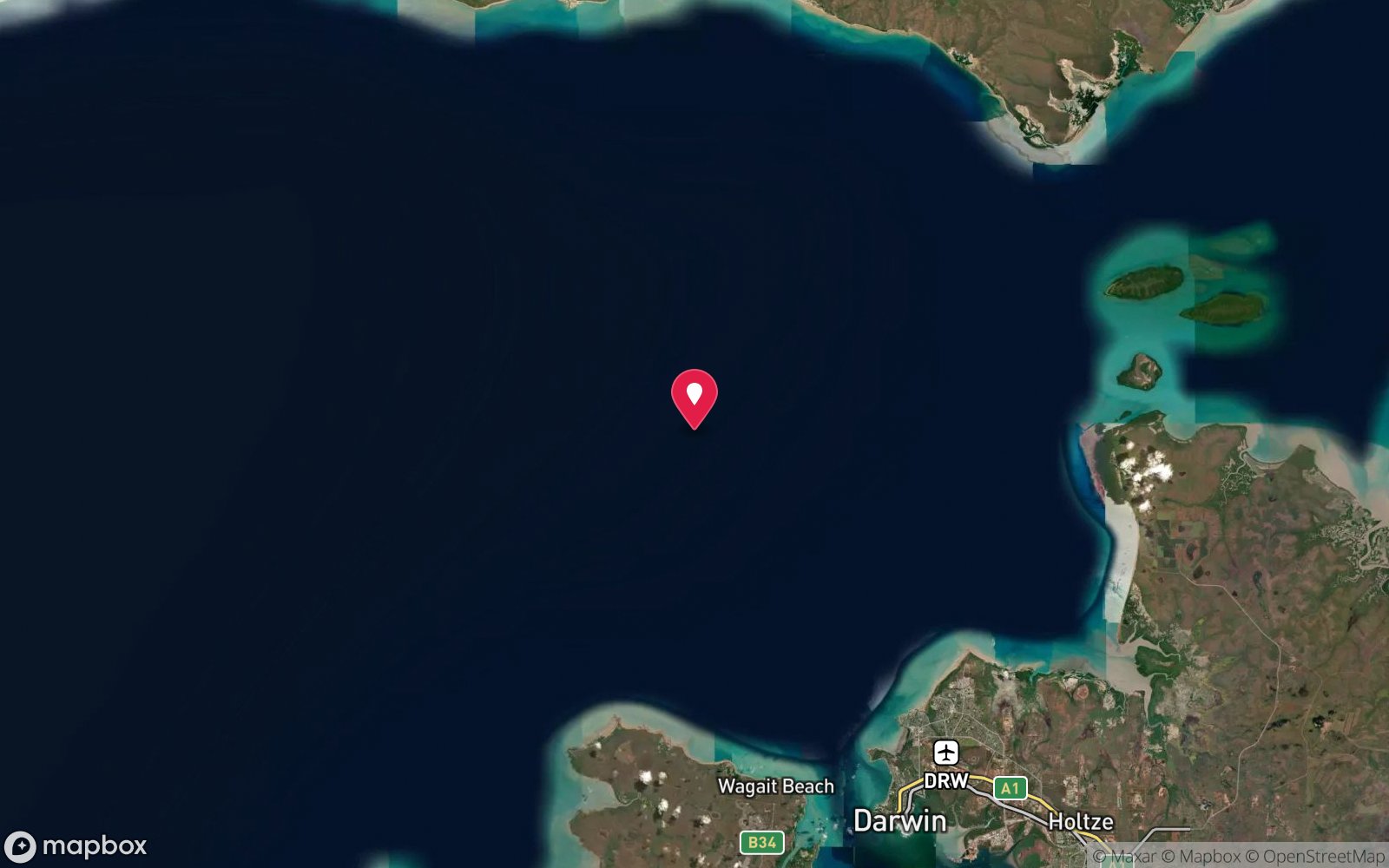
Amanda Lee
Visibility: 5-15 m · An 18–20 m trepang vessel lying on her port side with wheelhouse, rails and a large Kort nozzle clearly visible and good coral growth.
3. Darwin Offshore & Artificial Reefs · NT
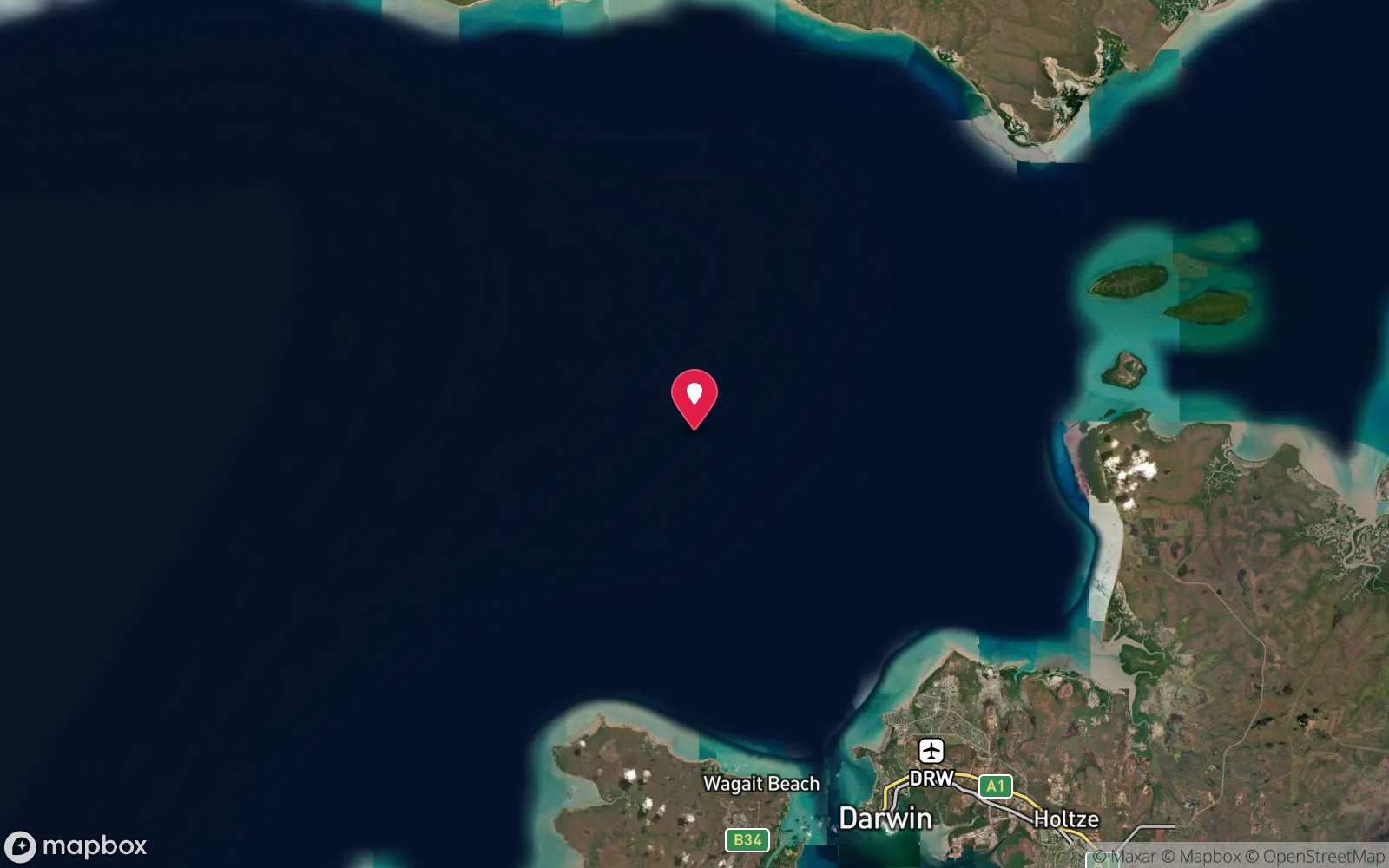
Amelia C
Visibility: 5-15 m · A 25 m prawn trawler cleaned by Darwin Sub Aqua Club volunteers and scuttled in 2013 – upright, open and busy with snapper and jewfish.
4. Darwin Offshore & Artificial Reefs · NT
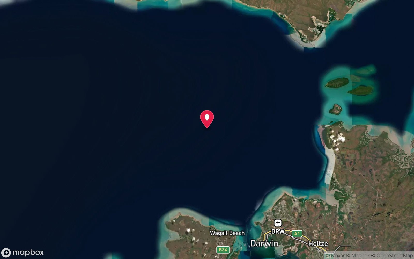
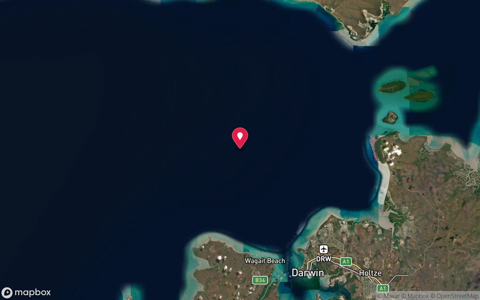
Antares and Steel Barge
Visibility: 5-15 m · Upright 22 m coastal trader scuttled in 2011 with a steel barge alongside – part of the Antares, Amelia C and Merindah Pearl wreck cluster.
5. Darwin Offshore & Artificial Reefs · NT
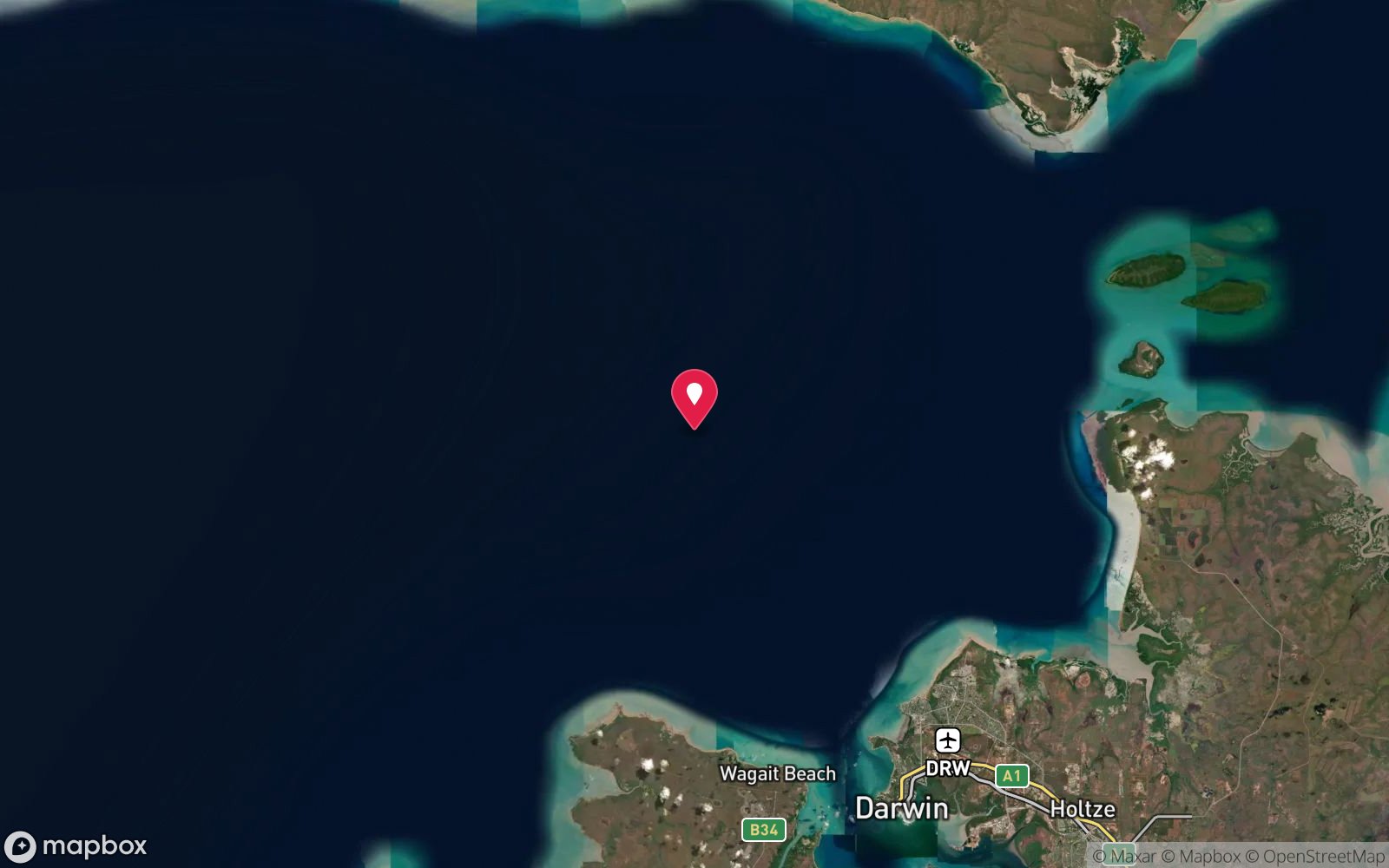
Bus Stop Reef
Visibility: 5-15 m · An improvised early-1990s reef of steel pontoons, truck tyres, concrete bus shelters and a 10 m boat, known for very large cod.
6. Darwin Offshore & Artificial Reefs · NT
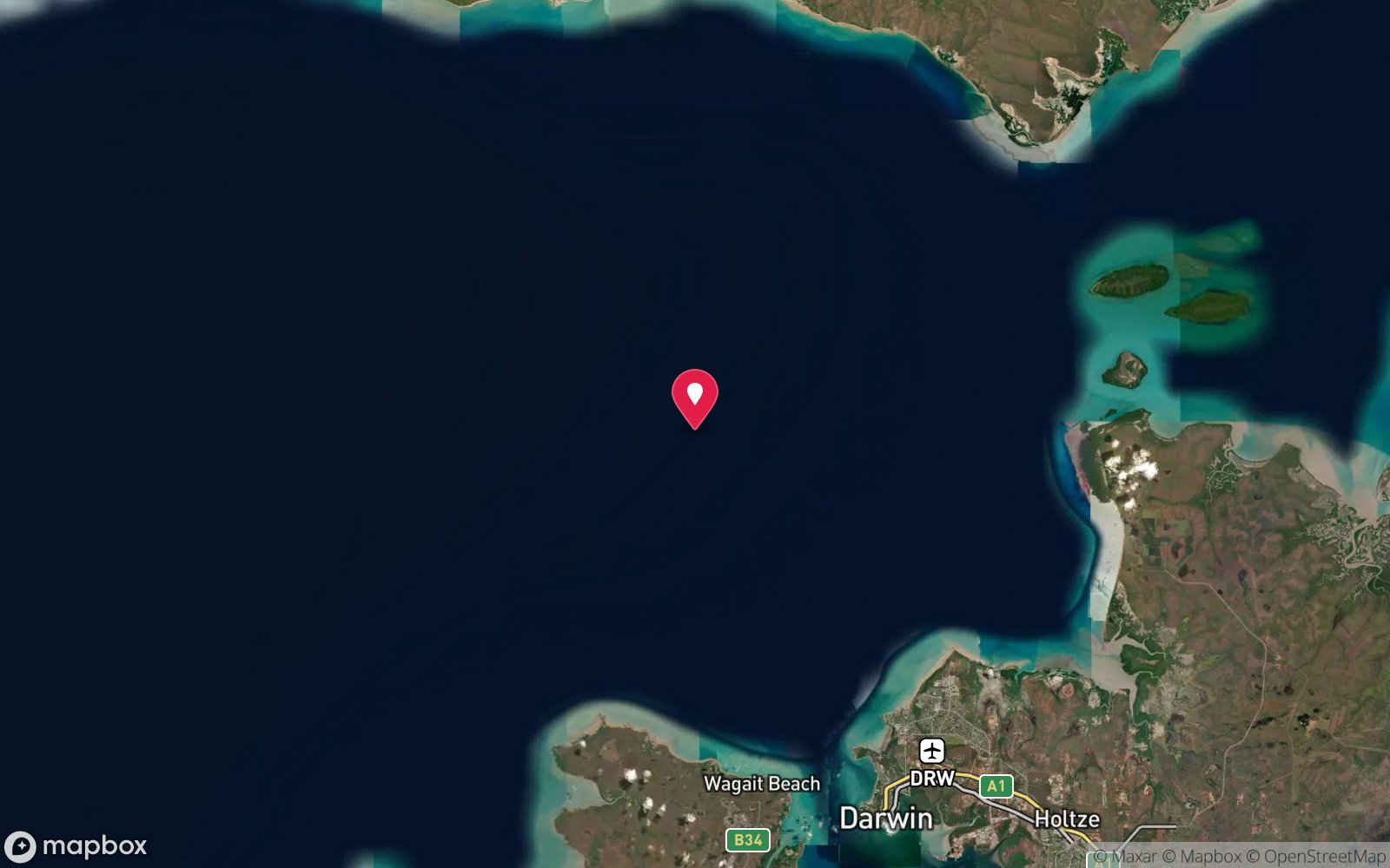
Marchart 3
Visibility: 5-15 m · The 32 m ex-research vessel and prawn trawler that founded the Fenton Patches reef field in 1988 – upright, intact and heavily fish-populated around the stern and rudder.
7. Darwin Offshore & Artificial Reefs · NT
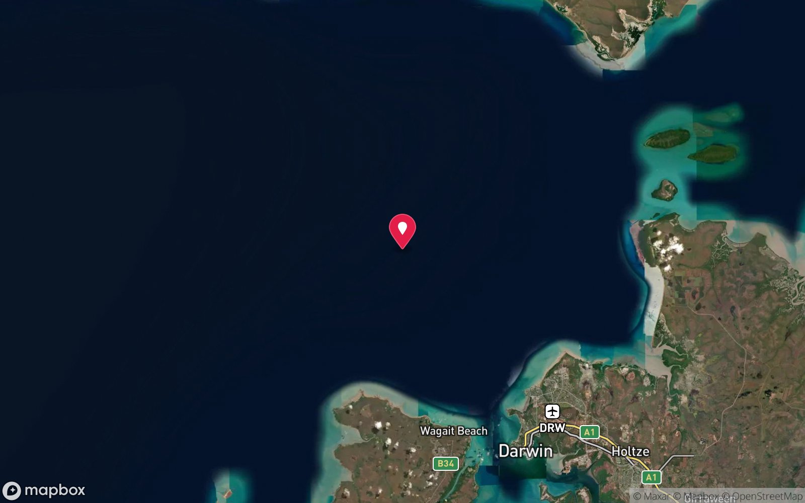
Merindah Pearl
Visibility: 5-15 m · A 25 m ex-pearling vessel prepared by DSAC volunteers and scuttled in 2013 at the northern end of the Fenton wreck cluster.
8. Darwin Offshore & Artificial Reefs · NT
Pipeline Artificial Reef
Visibility: 5-15 m · About 200 tonnes of large concrete pipes forming tunnels and overhangs that shelter big cod and jewfish.
9. Tiwi Islands · NT
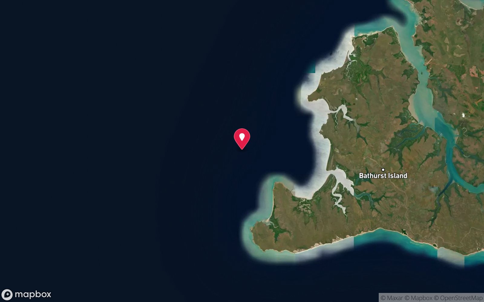
Florence D
Visibility: 5-15 m · A 1942 blockade-runner sunk in the first Darwin raid, found in 2008 – intact stern on its side in 16 m and a shattered ammunition-laden bow, in a closed protected zone.
10. Darwin Offshore & Artificial Reefs · NT
Vernon Islands
Visibility: 5-15 m · Coral reefs rising steeply from fast tidal channels in Clarence Strait, with Spanish mackerel feeding along the edges – the best natural reef within reach of Darwin.
11. Darwin Offshore & Artificial Reefs · NT
Vernon Islands Blue Holes
Visibility: 5-15 m · Tidal blue holes that become sheltered, fish-filled coral pools at low tide – with a 'horizontal waterfall' as the water drains out.
12. East Arnhem Land & Gove · NT
Gove Town Wharf
Visibility: 3-12 m · Pylons crowded with nudibranchs, flatworms, decorator crabs and feather stars, with big schools of fish under the wharf – Gove's easy macro dive.
13. Darwin Offshore & Artificial Reefs · NT
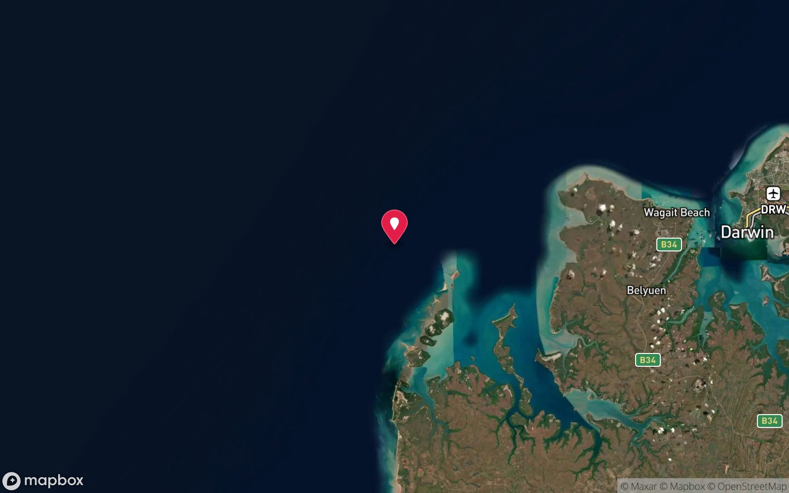
SS Brisbane
Visibility: 3-12 m · The NT's largest surviving colonial wreck: an 85 m 1881 steamer whose boilers break the surface at low springs while the intact stern lies in 12 m.
14. Darwin Harbour · NT
DK 06 Ham Luong
Visibility: 2-8 m · A small, upright refugee boat packed with fish, in reach of two other wrecks on the same dive.
15. Darwin Harbour · NT
John Holland Barge
Visibility: 2-8 m · An upturned construction barge whose cylinders and beams form a maze of overhangs full of fish.
16. Darwin Harbour · NT
Medkhanun 3
Visibility: 2-8 m · A modern confiscated fishing boat lying intact on its side, with holds and wheelhouse visible - the shallowest of the complex.
17. Darwin Harbour · NT
NR Diemen
Visibility: 2-8 m · Upright, intact Cyclone Tracy trawler in 12 m with some of the harbour's best fish life - Darwin's best beginner wreck.
18. Darwin Harbour · NT
Song Saigon
Visibility: 2-8 m · An upright 40 m steel refugee boat with open holds, good coral and strong fish life, beside two other wrecks.
19. Darwin Harbour · NT
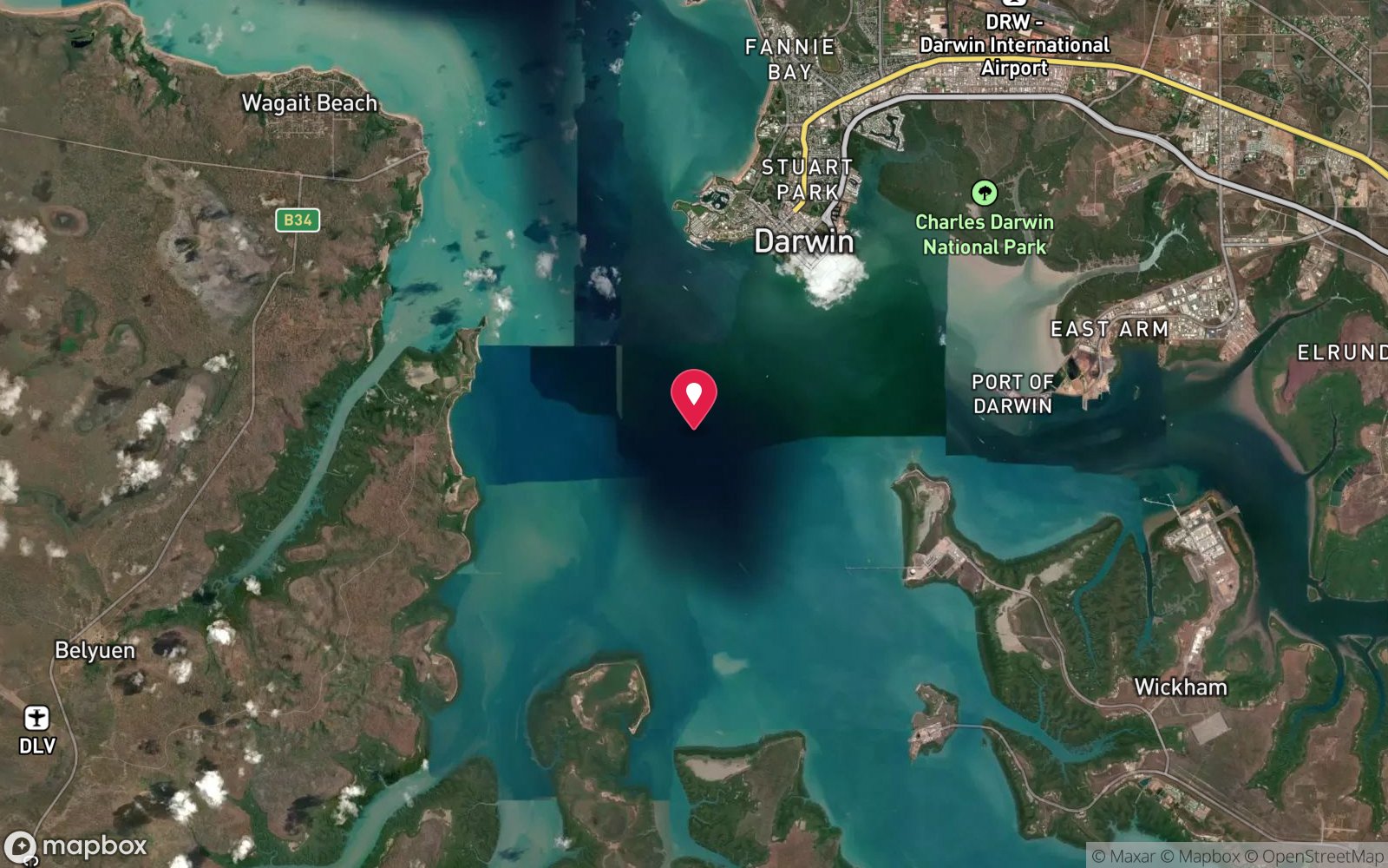
SS Mauna Loa
Visibility: 2-8 m · An American freighter sunk in the same raid, upright in 20 m with cargo still in the holds.
20. Darwin Harbour · NT
SS Zealandia
Visibility: 2-8 m · The former Huddart Parker liner and troopship, now the most coral-covered of the 1942 raid wrecks.
21. Darwin Harbour · NT
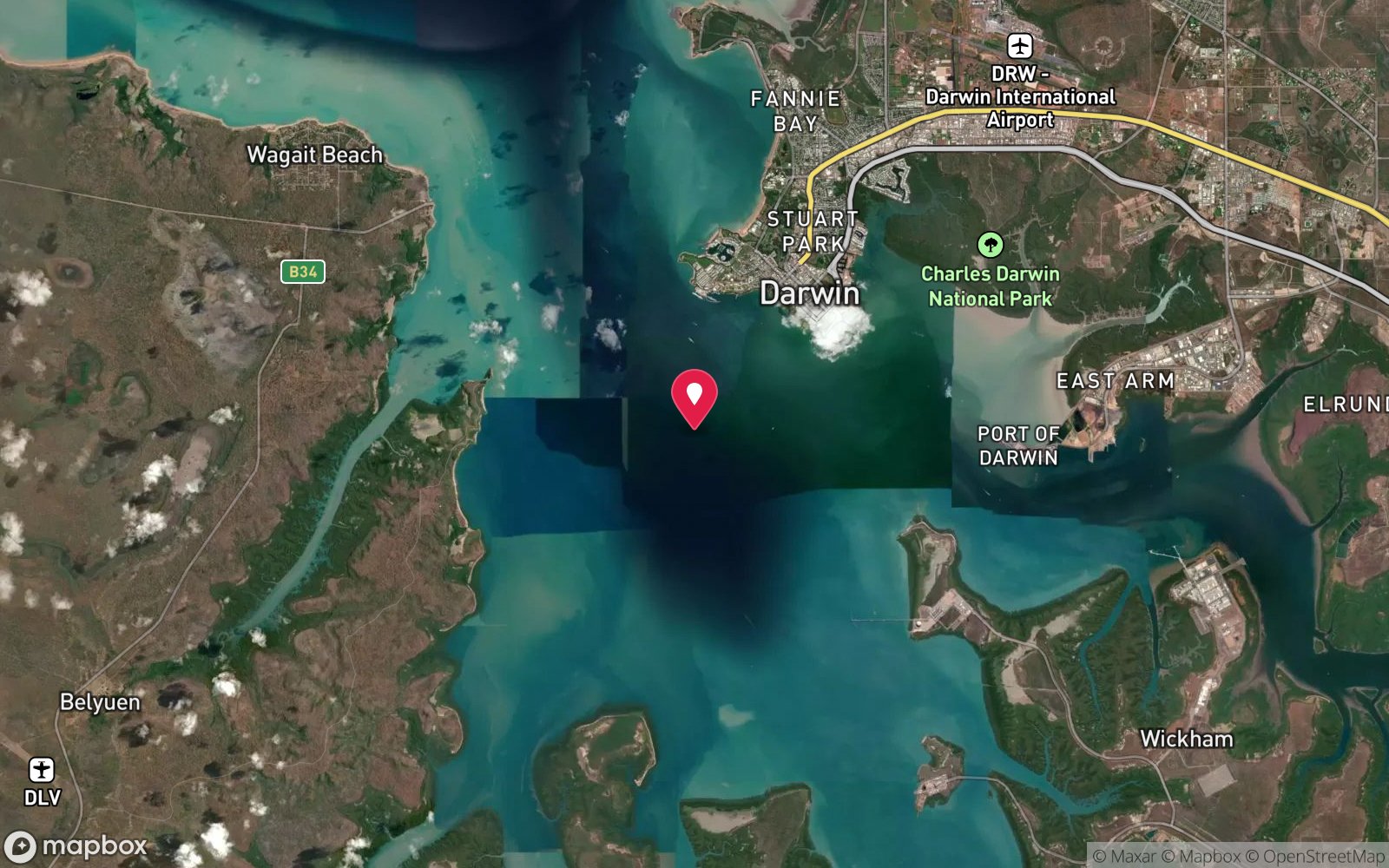
USAT Meigs
Visibility: 2-8 m · A 130 m US Army transport sunk in the 1942 air raid, the largest and most-dived wreck in Darwin Harbour.
22. Darwin Harbour · NT
Bellbird
Visibility: 2-8 m · An upturned Cyclone Tracy trawler draped in gorgonians, a few minutes from the CBD and sheltered from the trade winds.
23. Darwin Harbour · NT
C-47 Dakota A65-115
Visibility: 2-8 m · An almost intact RAAF Dakota transport that ditched off Mindil Beach in 1946, reached by a heritage mooring and guide line.
24. Darwin Harbour · NT
DSAC Barge
Visibility: 2-8 m · The club's own upturned barge reef, surrounded by a yacht, work boat and concrete structures, with tame fish.
25. Darwin Harbour · NT
Dudley Point Bommies
Visibility: 2-8 m · A wide field of shallow coral bommies with clownfish and long, easy bottom times.
26. Darwin Harbour · NT
Kelat
Visibility: 2-8 m · A relaxed 12 m dive on the remains of an 1881 iron sailing ship turned naval coal hulk, sunk after the 1942 raid.
27. Darwin Harbour · NT
The Pinnacle
Visibility: 2-8 m · A ridge rising from 15 m to 5 m, with big fish at the base and clouds of small fish on the top.
28. Darwin Harbour · NT
USS Peary
Visibility: 1-8 m · The US destroyer sunk with 88 of her crew in the first raid on Darwin; the harbour's deepest and most solemn WWII dive.
29. Darwin Harbour · NT
Weed Reef Bommies
Visibility: 2-8 m · Large bommies with an overhang packed with colourful sponge and soft coral life; sargassum at its best around August.
30. Darwin Harbour · NT
Beaufort A9-497
Visibility: 2-8 m · An intact RAAF Beaufort bomber with guns and cockpit instruments in place, found by sonar and kept undisturbed.
The guide
Why the clearest water is fresh
The top of this list is inland. The Limestone Coast sinkholes and the Nullarbor caves hold groundwater that has been filtered through kilometres of limestone; there is no plankton, no sediment and no swell, so visibility is limited only by the light. Kilsby, Ewens Ponds and Piccaninnie routinely exceed 40 m and the caves exceed 100 m, numbers that no ocean site in Australia can match.
In the sea, clarity comes from distance from the coast and from the open ocean. The outer Great Barrier Reef at the shelf edge (Agincourt, the Ribbons, Osprey), Lord Howe and Balls Pyramid, the Coral Sea atolls and the Rowley Shoals all sit in oceanic water that the coastal rivers never reach. The temperate south has its clear days too, usually after a week of offshore wind in winter, but 20 m is exceptional where 40 m is routine on the outer reef.
Diving in very clear water
Clear water changes how a dive feels and how it should be planned. Depth is hard to judge when the bottom looks close; divers in the sinkholes routinely find themselves deeper than intended, which is why the CDAA sites have hard limits, guides and permits. Buoyancy control matters more, because every fin kick is visible for 50 m and silt in a cave stays suspended for days. And photography is easier and harder: no backscatter, but a scene that stretches further than any strobe can reach.
The sinkholes and Ewens Ponds are diveable year-round with the water a constant 15 °C; a 7 mm suit or a drysuit is standard. The outer reef is clearest from September to November, before the wet-season runoff.
Editorial last reviewed September 2026. The list itself is regenerated from the directory daily.
Frequently asked questions
Where is the best visibility in Australia?
The Coral Sea reefs (Osprey, Bougainville, Flinders), the Rowley Shoals, Christmas and Cocos islands and the Mount Gambier sinkholes regularly exceed 40 m. Tasmania's east coast reaches 30 m in winter.
More rankings
- The 25 Deepest Dive Sites in Australia
- Australia's Most Remote Dive Sites
- The Longest Boat Rides to a Day Dive
- The Warmest Dive Sites in Australia
- The Coldest Dive Sites in Australia
- The Most Biodiverse Dive Sites in Australia
- The Oldest Shipwrecks You Can Dive in Australia
- WWII and Wartime Wrecks You Can Dive in Australia
- All rankings →