Ranked by the upper end of the recorded visibility range: the Coral Sea, the Rowley Shoals, the offshore territories, the Mount Gambier sinkholes and, in winter, Tasmania's east coast.
Updated daily from the directory. 30 sites listed.
1. Mount Gambier Sinkholes & Caves · SA
Kilsby Sinkhole
Visibility: 40-80 m · The open-access showpiece of the Mount Gambier sinkholes: 65 m deep, clear as air, recreational depth on the upper platforms.
Our takeFifty-plus metres of visibility in a private sinkhole on a sheep property near Mount Gambier, open to Open Water divers with an approved operator. At midday in summer a shaft of light falls 30 m to the rubble slope; there is nothing else like it in Australia at a recreational level.
Sinkhole/CenoteMax 65 mIntermediateTechnical (decompression)Shore accessMore in Mount Gambier Sinkholes & Caves →
2. Mount Gambier Sinkholes & Caves · SA
Ewens Ponds
Visibility: 30-80 m · Three spring-fed limestone ponds joined by a creek, with 60 m visibility and no permit needed.
Our takeThree spring-fed ponds joined by shallow channels, drifted one way in 10 m over meadows of aquatic plants. The water is so clear that divers report vertigo on the descent. Open Water, guided, and the best introduction to the Limestone Coast.
Freshwater Lake/RiverMax 10 mBeginnerOpen WaterShore accessMore in Mount Gambier Sinkholes & Caves →
3. Mount Gambier Sinkholes & Caves · SA
Piccaninnie Ponds
Visibility: 30-60 m · The approach to Australia's most famous sinkhole: weed meadows in near-perfect visibility leading to the lip of a 100 m+ chasm.
Our takeThe approach to the Chasm through weed meadows in near-perfect visibility, and the Cathedral chamber beside it. Permit-only, timed entries, and the most photographed freshwater dive in the country.
Sinkhole/CenoteMax 10 mIntermediateCave/Cavern certificationShore accessMore in Mount Gambier Sinkholes & Caves →
4. Mount Gambier Sinkholes & Caves · SA
Piccaninnie Ponds – The Cathedral
Visibility: 40-60 m · A white limestone chamber lit by daylight in near-perfect visibility – one of Australia's finest freshwater photography dives.
Cave/CavernMax 35 mAdvancedCave/Cavern certificationShore accessMore in Mount Gambier Sinkholes & Caves →
5. Mount Gambier Sinkholes & Caves · SA
Piccaninnie Ponds – The Chasm
Visibility: 40-60 m · Hanging over a 100 m+ spring-fed slot in 40 m-plus visibility – the signature Mount Gambier image.
Sinkhole/CenoteMax 110 mAdvancedCave/Cavern certificationShore accessMore in Mount Gambier Sinkholes & Caves →
6. Mount Gambier Sinkholes & Caves · SA
The Shaft
Visibility: 30-50 m · A 124 m deep sinkhole entered through a hole in a paddock. Advanced cave rating only.
Sinkhole/CenoteMax 124 mExpert/TechnicalCave/Cavern certificationShore accessMore in Mount Gambier Sinkholes & Caves →
7. Mount Gambier Sinkholes & Caves · SA
Tank Cave
Visibility: 15-40 m · More than 7 km of shallow, lined maze passage – Australia's premier Advanced Cave training and exploration site.
Cave/CavernMax 30 mExpert/TechnicalCave/Cavern certificationShore accessMore in Mount Gambier Sinkholes & Caves →
8. Mount Gambier Sinkholes & Caves · SA
Goulden's Hole
Visibility: 15-30 m · The classic CDAA training sinkhole – compact, clear below a 15 m thermocline and easy to plan around.
Sinkhole/CenoteMax 26 mIntermediateCave/Cavern certificationShore accessMore in Mount Gambier Sinkholes & Caves →
9. Mount Gambier Sinkholes & Caves · SA
The Pines
Visibility: 15-30 m · A tight entrance opening into a large, clear chamber, with a signed deep Advanced Cave section below 25 m.
Cave/CavernMax 30 mAdvancedCave/Cavern certificationShore accessMore in Mount Gambier Sinkholes & Caves →10. Mount Gambier Sinkholes & Caves · SA
Baker's Cave
Visibility: 10-30 m · A 15 m wire ladder down a 1 m solution tube into a large flooded chamber and tunnel to 33 m.
Cave/CavernMax 33 mExpert/TechnicalCave/Cavern certificationShore accessMore in Mount Gambier Sinkholes & Caves →11. Mount Gambier Sinkholes & Caves · SA
Three Sisters Cave
Visibility: 10-30 m · An 18 m belayed ladder descent into a 30 m dome chamber, with the infamous 30-40 cm 'flattener' beyond – sidemount only.
Cave/CavernMax 35 mExpert/TechnicalCave/Cavern certificationShore accessMore in Mount Gambier Sinkholes & Caves →
12. Yorke Peninsula · SA
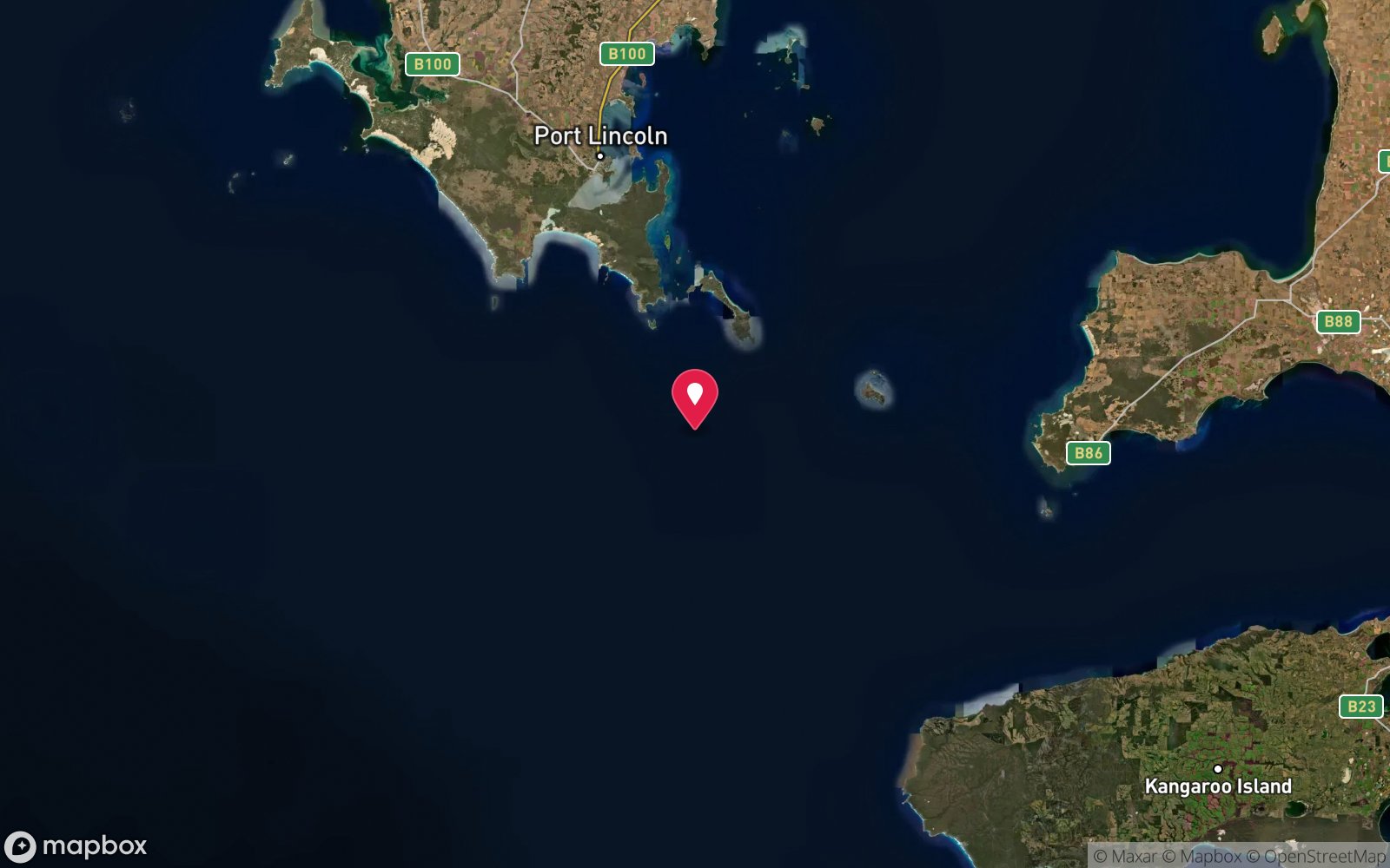
Wedge Island
Visibility: 15-30 m · Remote island with 150 m cliffs, walls and drifts to 50 m and Shark Cove's undercut ledge and tunnel through North Point.
13. Eyre Peninsula · SA
Neptune Islands – Great White Shark Cage Diving
Visibility: 5-25 m · The only great white cage diving in Australia, from Port Lincoln.
14. Yorke Peninsula · SA
Althorpe Island
Visibility: 12-25 m · Remote island with 50+ sites, 20 m walls, seal colonies, big blue groper and historic wrecks at the mouth of Spencer Gulf.
15. Mount Gambier Sinkholes & Caves · SA
Mud Hole
Visibility: 10-25 (first diver); near zero after m · Crystal-clear shaded water for the first diver – and a textbook silt-out for everyone after.
Cave/CavernMax 17 mAdvancedCave/Cavern certificationShore accessMore in Mount Gambier Sinkholes & Caves →
16. Kangaroo Island · SA
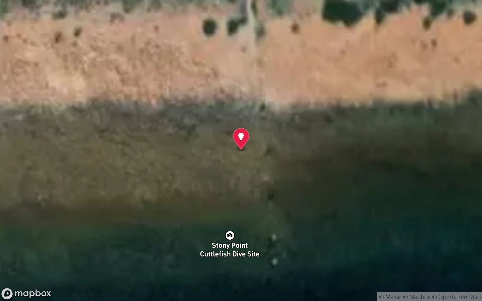
The Pages
Visibility: 15-25 m · Pristine walls and big fish schools around sea lion islets in the middle of Backstairs Passage.
17. Whyalla & Upper Spencer Gulf · SA
Stony Point – Giant Cuttlefish Aggregation
Visibility: 5-20 m · The world's only mass aggregation of giant Australian cuttlefish – tens to hundreds of thousands of displaying, mating animals in 1-6 m within metres of an easy boardwalk entry, May to August.
18. Eyre Peninsula · SA
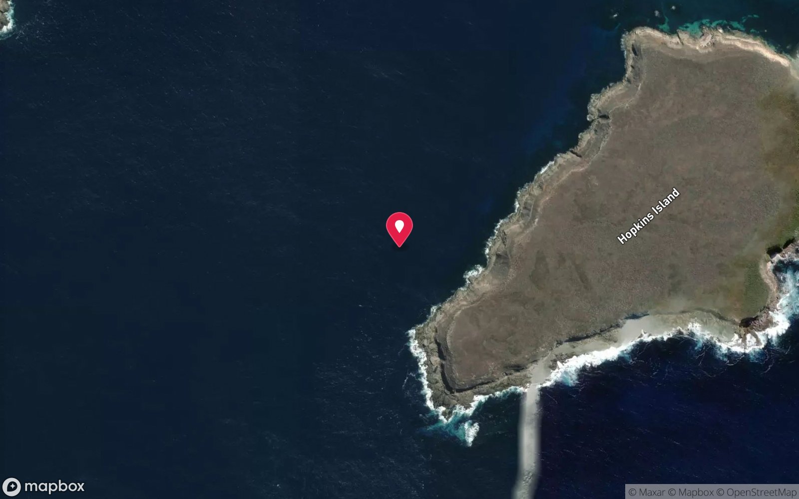
Hopkins Island – Australian Sea Lions
Visibility: 10-20 m · Playful, endangered Australian sea lions spinning around snorkellers in a clear, shallow cove, plus a 30 m-to-4 m pinnacle for divers.
19. Whyalla & Upper Spencer Gulf · SA
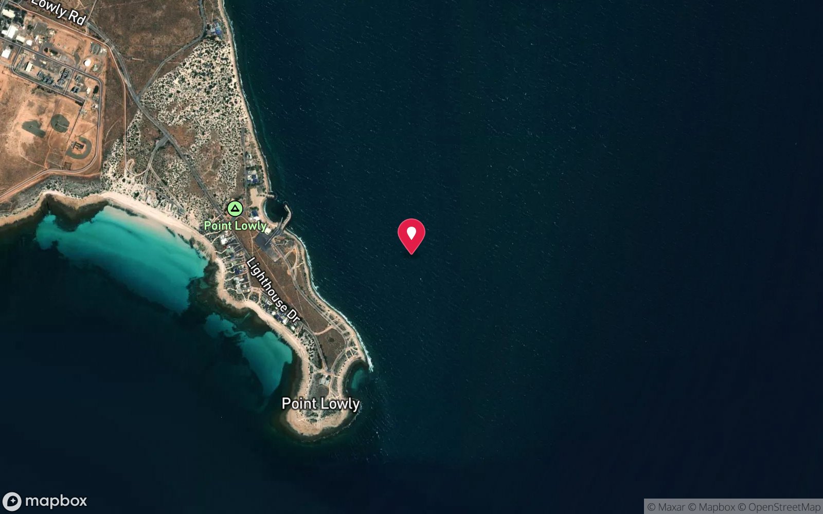
Point Lowly
Visibility: 5-20 m · Eastern end of the cuttlefish aggregation with deeper ledges and fewer crowds, below the 1883 Point Lowly lighthouse.
20. Fleurieu Peninsula & Victor Harbor · SA
Aldinga Drop-off
Visibility: 6-20 m · A 10 m limestone cliff riddled with caverns and overhangs in a no-take sanctuary zone – one of the most spectacular dives near Adelaide.
21. Fleurieu Peninsula & Victor Harbor · SA
Aldinga Pinnacles
Visibility: 6-20 m · Ten limestone pinnacles with swim-throughs and overhangs, dense relaxed fish and good visibility in a no-take zone.
22. Mount Gambier Sinkholes & Caves · SA
Engelbrecht Cave – East
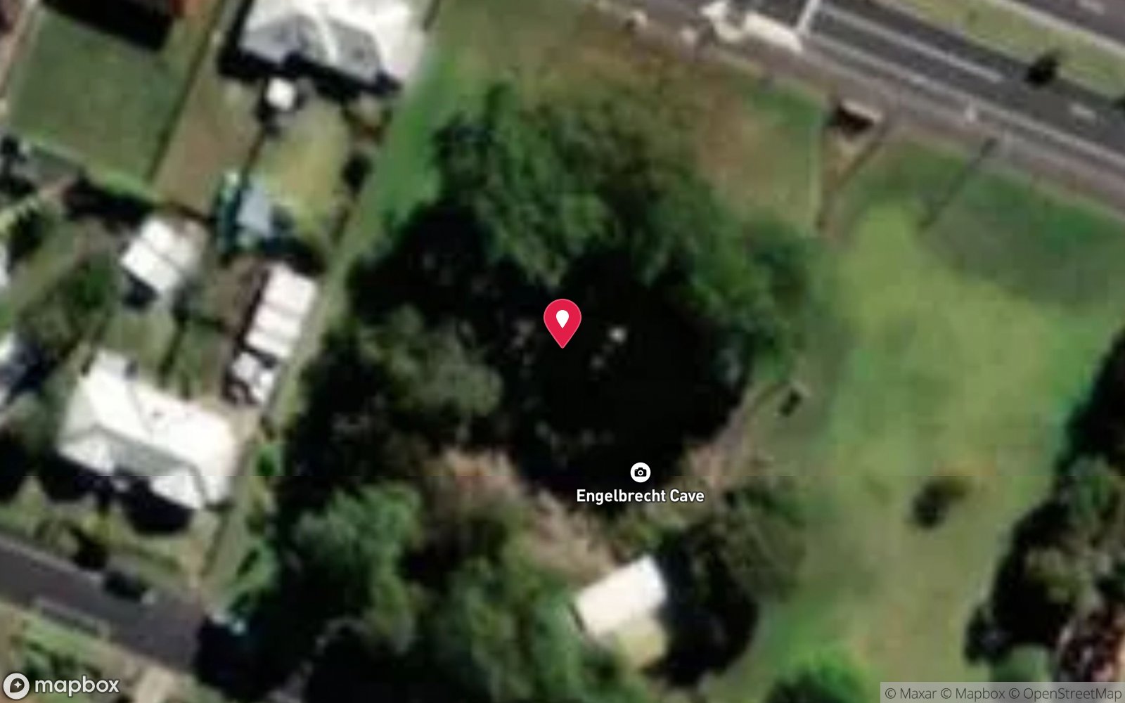
Visibility: 5-20 m · Cave diving beneath the middle of Mount Gambier – a shallow, silty 70 m passage to a hidden air chamber and lake.
Cave/CavernMax 8 mAdvancedCave/Cavern certificationShore accessMore in Mount Gambier Sinkholes & Caves →
23. Mount Gambier Sinkholes & Caves · SA
Fossil Cave
Visibility: 5-20 m · A cave with a fossil record of thylacines, marsupial lions and giant kangaroos, connected to the Tank Cave system.
Cave/CavernMax 15 mAdvancedCave/Cavern certificationShore accessMore in Mount Gambier Sinkholes & Caves →
24. Yorke Peninsula · SA
Haystack Reef
Visibility: 10-20 m · A kilometre-long wall from 22 m to 10 m, riddled with caves and swim-throughs and carpeted in red, yellow and orange sponges – about ten dives' worth of reef.
25. Mount Gambier Sinkholes & Caves · SA
Little Blue Lake
Visibility: 2-5 surface; 10-20 below 20 m · The easiest-access deep sinkhole in Mount Gambier – roadside parking, stairs and pontoon, and a flat floor at 36 m for depth and skills work.
Sinkhole/CenoteMax 42 mAdvancedCave/Cavern certificationShore accessMore in Mount Gambier Sinkholes & Caves →
26. Kangaroo Island · SA
Western River Cove
Visibility: 8-20 m · Kangaroo Island's classic shore dive – colourful reef fish in the shallows and gorgonians and blue groper on the deeper western side.
27. Mount Gambier Sinkholes & Caves · SA
Allendale East Cave
Visibility: 5-20 m · A steep, silty township cave with a big chamber at 24 m – a true test of buoyancy and line skills for newly rated Cave divers.
Cave/CavernMax 24 mAdvancedCave/Cavern certificationShore accessMore in Mount Gambier Sinkholes & Caves →
28. Yorke Peninsula · SA
Chinamans Hat Island
Visibility: 10-20 m · A small island ringed by reef riddled with swim-throughs, chimneys and caves, a short boat ride from Marion Bay.
29. Kangaroo Island · SA
Fides Wreck
Visibility: 10-20 m · Brass fittings, bottles and cargo from an 1860 barque scattered in a gully beneath the north-west cliffs.
30. Yorke Peninsula · SA
Haystack Island
Visibility: 10-20 m · Towering, bird-covered island with seal-visited ledges and big blue groper – usually dived with the famous Haystack Reef wall nearby.
The guide
Why the clearest water is fresh
The top of this list is inland. The Limestone Coast sinkholes and the Nullarbor caves hold groundwater that has been filtered through kilometres of limestone; there is no plankton, no sediment and no swell, so visibility is limited only by the light. Kilsby, Ewens Ponds and Piccaninnie routinely exceed 40 m and the caves exceed 100 m, numbers that no ocean site in Australia can match.
In the sea, clarity comes from distance from the coast and from the open ocean. The outer Great Barrier Reef at the shelf edge (Agincourt, the Ribbons, Osprey), Lord Howe and Balls Pyramid, the Coral Sea atolls and the Rowley Shoals all sit in oceanic water that the coastal rivers never reach. The temperate south has its clear days too, usually after a week of offshore wind in winter, but 20 m is exceptional where 40 m is routine on the outer reef.
Diving in very clear water
Clear water changes how a dive feels and how it should be planned. Depth is hard to judge when the bottom looks close; divers in the sinkholes routinely find themselves deeper than intended, which is why the CDAA sites have hard limits, guides and permits. Buoyancy control matters more, because every fin kick is visible for 50 m and silt in a cave stays suspended for days. And photography is easier and harder: no backscatter, but a scene that stretches further than any strobe can reach.
The sinkholes and Ewens Ponds are diveable year-round with the water a constant 15 °C; a 7 mm suit or a drysuit is standard. The outer reef is clearest from September to November, before the wet-season runoff.
Editorial last reviewed September 2026. The list itself is regenerated from the directory daily.
Frequently asked questions
Where is the best visibility in Australia?
The Coral Sea reefs (Osprey, Bougainville, Flinders), the Rowley Shoals, Christmas and Cocos islands and the Mount Gambier sinkholes regularly exceed 40 m. Tasmania's east coast reaches 30 m in winter.
More rankings
- The 25 Deepest Dive Sites in Australia
- Australia's Most Remote Dive Sites
- The Longest Boat Rides to a Day Dive
- The Warmest Dive Sites in Australia
- The Coldest Dive Sites in Australia
- The Most Biodiverse Dive Sites in Australia
- The Oldest Shipwrecks You Can Dive in Australia
- WWII and Wartime Wrecks You Can Dive in Australia
- All rankings →